Monkey Island, Oklahoma
| Monkey Island | |
|---|---|
|
USGS 1995 orthophoto | |
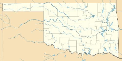  Monkey Island Location on a map of Oklahoma | |
| Coordinates: 36°35′N 94°52′W / 36.59°N 94.87°WCoordinates: 36°35′N 94°52′W / 36.59°N 94.87°W | |
| Country | United States |
| State | Oklahoma |
| County | Delaware County |
_-_USGS_25_February_1995.jpg)
Monkey Island is a peninsula on the northern shore of Grand Lake o' the Cherokees, located 8 miles (13 km) southwest of Grove, Oklahoma.[1] It is 6 miles (9.7 km) long from north to south and State Highway 125 runs through the peninsula to its southern end.[2][3][4]
References
- ↑ "Monkey Island". Grove Area Chamber of Commerce. Retrieved December 15, 2012.
- ↑ "Grand River Dam Authority: ORDER MODIFYING AND APPROVING APPLICATION" (PDF). Federal Energy Regulatory Commission. October 18, 2007. Retrieved December 15, 2012.
- ↑ "Map and aerial image of Monkey Island and State Highway 125". Google Maps. Retrieved December 15, 2012.
- ↑ "Topographic map showing Monkey Island". The National Map. U.S. Geological Survey. July 1980. Retrieved December 15, 2012.
This article is issued from Wikipedia - version of the 11/12/2016. The text is available under the Creative Commons Attribution/Share Alike but additional terms may apply for the media files.