Mont Racine
| Mont Racine | |
|---|---|
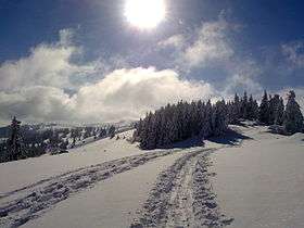 Mont Racine (centre left) from the north-east side | |
| Highest point | |
| Elevation | 1,439 m (4,721 ft) |
| Prominence | 319 m (1,047 ft) [1] |
| Isolation | 10.8 km (6.7 mi) [2] |
| Parent peak | Chasseral |
| Coordinates | 47°01′19″N 6°48′58″E / 47.02194°N 6.81611°ECoordinates: 47°01′19″N 6°48′58″E / 47.02194°N 6.81611°E |
| Geography | |
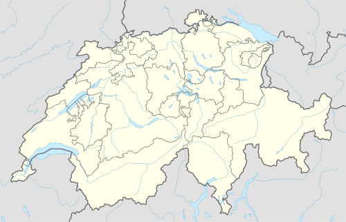  Mont Racine Location in Switzerland | |
| Location | Neuchâtel, Switzerland |
| Parent range | Jura Mountains |
Mont Racine (1,439 m) is a peak in the Jura Mountains, located between La Sagne and Les Geneveys-sur-Coffrane in the canton of Neuchâtel.
References
External links
This article is issued from Wikipedia - version of the 1/26/2016. The text is available under the Creative Commons Attribution/Share Alike but additional terms may apply for the media files.