Montagne du Château
| Montagne du Château | |
|---|---|
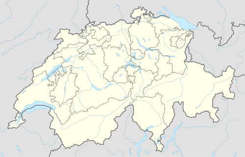  Montagne du Château Location in Switzerland | |
| Highest point | |
| Elevation | 929 m (3,048 ft) |
| Prominence | 249 m (817 ft) [1] |
| Isolation | 10.3 km (6.4 mi) [2] |
| Coordinates | 46°34′51″N 06°42′57″E / 46.58083°N 6.71583°ECoordinates: 46°34′51″N 06°42′57″E / 46.58083°N 6.71583°E |
| Geography | |
| Location | Vaud, Switzerland |
| Parent range | Jorat |
Montagne du Château (929 metres (3,048 ft)) is the highest hill of the Jorat.[3] It lies west of Montpreveyres in the canton of Vaud, above the city of Lausanne. The hill is entirely wooded, except for its summit, where is a clearing.
See also
References
- ↑ Retrieved from the Swisstopo topographic maps. The key col is located north of the Lac de Bret at 680 metres.
- ↑ Retrieved from the Swisstopo topographic maps. The nearest point of higher elevation is north of Mont Pèlerin.
- ↑ Commune de Montpreveyres. Retrieved 11 March 2014.
This article is issued from Wikipedia - version of the 6/2/2016. The text is available under the Creative Commons Attribution/Share Alike but additional terms may apply for the media files.