Monte Colombo
| Monte Colombo | ||
|---|---|---|
| Comune | ||
| Comune di Monte Colombo | ||
 | ||
| ||
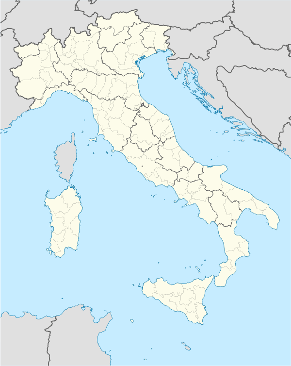  Monte Colombo Location of Monte Colombo in Italy | ||
| Coordinates: 43°55′N 12°33′E / 43.917°N 12.550°E | ||
| Country | Italy | |
| Region | Emilia-Romagna | |
| Province / Metropolitan city | Rimini (RN) | |
| Frazioni | Taverna, Croce, San Savino, Osteria Nuova | |
| Government | ||
| • Mayor | Simone Tordi | |
| Area | ||
| • Total | 11.9 km2 (4.6 sq mi) | |
| Elevation | 315 m (1,033 ft) | |
| Population (2010)[1] | ||
| • Total | 3,143 | |
| • Density | 260/km2 (680/sq mi) | |
| Demonym(s) | Montecolombesi | |
| Time zone | CET (UTC+1) | |
| • Summer (DST) | CEST (UTC+2) | |
| Postal code | 47040 | |
| Dialing code | 0541 | |
| Patron saint | St. Martin of Tours | |
| Saint day | November 11 | |
| Official website | ||
Monte Colombo is a comune (municipality) in the Province of Rimini in the Italian region Emilia-Romagna, located about 120 kilometres (75 mi) southeast of Bologna and about 15 kilometres (9 mi) south of Rimini.
Monte Colombo borders the following municipalities: Coriano, Gemmano, Montescudo, San Clemente.
History
Although the area housed some residences and scattered settlements in the Roman and Byzantine Ages, the current town originated in the Middle Ages from a castle built here by the Malatesta family. After the latter's fall and a short period under Cesare Borgia, Monte Colombo was acquired by the Republic of Venice, which however ceded it to the Papal States in 1509–10.
Main sights
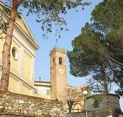
- Malatesta castle, with the annexed burg (14th century)
- Castle (fortified burg) of San Savino, dating to the late 15th century
- Bridge over the Rio Calamino (18th century)
References
This article is issued from Wikipedia - version of the 1/31/2015. The text is available under the Creative Commons Attribution/Share Alike but additional terms may apply for the media files.