Montemurlo
| Montemurlo | |
|---|---|
| Comune | |
| Comune di Montemurlo | |
|
The Montemurlo fortress | |
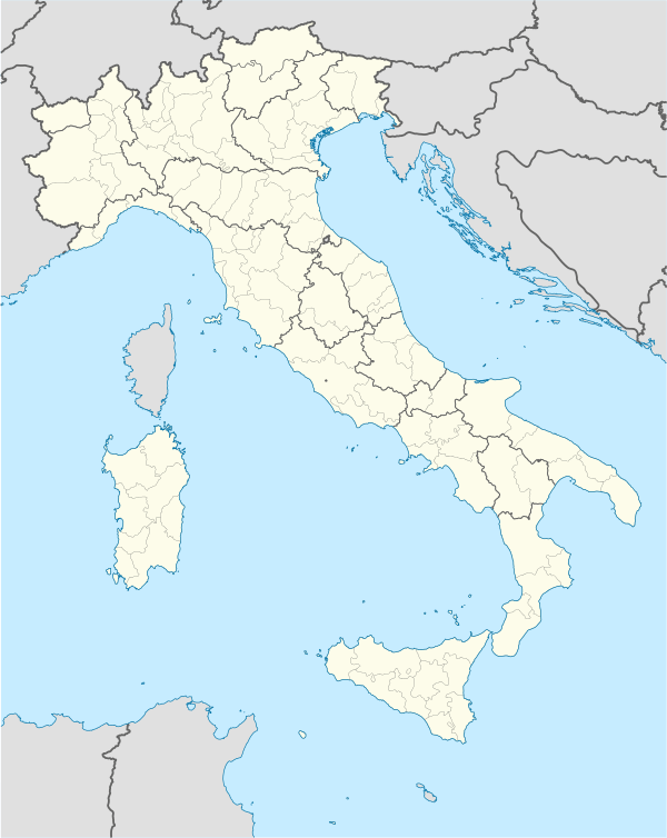  Montemurlo Location of Montemurlo in Italy | |
| Coordinates: 43°56′N 11°2′E / 43.933°N 11.033°ECoordinates: 43°56′N 11°2′E / 43.933°N 11.033°E | |
| Country | Italy |
| Region | Tuscany |
| Province / Metropolitan city | Province of Prato (PO) |
| Frazioni | Albiano, Bagnolo, Fornacelle, Oste, Bagnolo di Sopra, Campi Solari, Javello, Borgo Forte, Freccioni, Guzzano, La Gualchiera, Popolesco, Santorezzo |
| Area | |
| • Total | 30.7 km2 (11.9 sq mi) |
| Elevation | 73 m (240 ft) |
| Population (Dec. 2004) | |
| • Total | 18,097 |
| • Density | 590/km2 (1,500/sq mi) |
| Time zone | CET (UTC+1) |
| • Summer (DST) | CEST (UTC+2) |
| Postal code | 59013 |
| Dialing code | 0574 |
| Website | Official website |
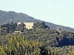
Montemurlo is a comune (municipality) in the Province of Prato in the Italian region Tuscany, located about 25 kilometres (16 mi) northwest of Florence and about 8 kilometres (5 mi) northwest of Prato. As of 31 December 2004, it had a population of 18,097 and an area of 30.7 square kilometres (11.9 sq mi).[1]
Geography
The municipality of Montemurlo contains the frazioni (subdivisions, mainly villages and hamlets) Albiano, Bagnolo, Fornacelle, and Oste.
Montemurlo borders the following municipalities: Agliana, Cantagallo, Montale, Prato, Vaiano.
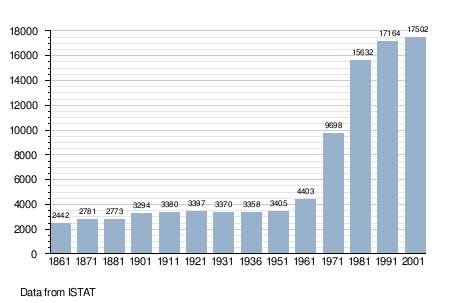
Demographic evolution
Architecture
Churches
- Chapel at Javello farm
- Chapel at the fortress in Montemurlo
- Chapel at Villa del Barone in Bagnolo di Sopra
- Chapel at Villa Giamari in Fornacelle
- Parish Church of San Giovanni Battista Decollato at Montemurlo castle
- Sacred Heart of Jesus in Montemurlo
- San Pietro in Albiano
- Santa Maria Maddalena de Pazzi in Bagnolo
- Holy Mary Mother of the Church in Oste
- Holy Mary Mother of God in Fornacelle
Villas
- Old Village Riva di Bagnolo in Bagnolo di Sopra
- Casone dei Valori in Montemurlo castle
- Javello farm
- Palarciano farm in Montemurlo
- The Fortress in Montemurlo castle
- Villa del Barone in Bagnolo di Sopra
- Villa Bresci in Bagnoli di Sopra
- Villa in Campi Solari
- Villa di Galceto in Bagnolo
- Villa di Popolesco in Popolesco
- Villa Gherardini in Montemurlo
- Villa Giamari in Fornacelle
- Villa Melchi in Borgo Forte
- Villa Pazzi al Perugiano in Bagnolo
- Villa Strozzi in Bagnolo
Gallery
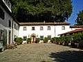 Javello farm
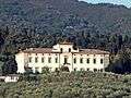 Villa del Barone in Bagnolo di Sopra
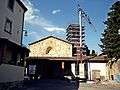 Parish Church of St. John the Beheaded at Montemurlo castle
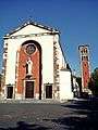 Sacred Heart of Jesus in Montemurlo
References
External links
 |
Wikimedia Commons has media related to Montemurlo. |
This article is issued from Wikipedia - version of the 6/10/2016. The text is available under the Creative Commons Attribution/Share Alike but additional terms may apply for the media files.