Morungaba
| Morungaba | |||
|---|---|---|---|
| |||
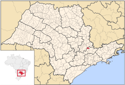 Location in São Paulo state | |||
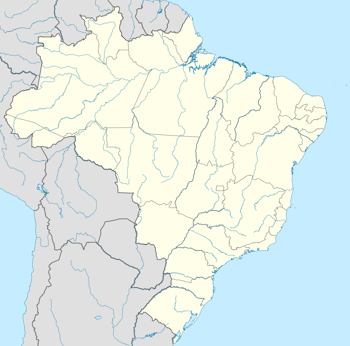  Morungaba Location in Brazil | |||
| Coordinates: 22°52′48″S 46°47′30″W / 22.88000°S 46.79167°WCoordinates: 22°52′48″S 46°47′30″W / 22.88000°S 46.79167°W | |||
| Country | Brazil | ||
| Region | Southeast | ||
| State | São Paulo | ||
| Metropolitan Region | Campinas | ||
| Government | |||
| • Mayor | José Roberto Zem | ||
| Area | |||
| • Total | 146.75 km2 (56.66 sq mi) | ||
| Population (2015) | |||
| • Total | 12,934 | ||
| Time zone | BRT (UTC-3) | ||
| • Summer (DST) | BRST (UTC-2) | ||
| Postal Code | 13260-000 | ||
| Area code(s) | +55 11 | ||
| Website |
www | ||
Morungaba is a municipality in the state of São Paulo in Brazil. It is part of the Metropolitan Region of Campinas.[1] The population is 12,934 (2015 est.) in an area of 146.75 km².[2] The elevation is 765 m.
References
This article is issued from Wikipedia - version of the 5/14/2016. The text is available under the Creative Commons Attribution/Share Alike but additional terms may apply for the media files.