Mount Hillers
| Mount Hillers | |
|---|---|
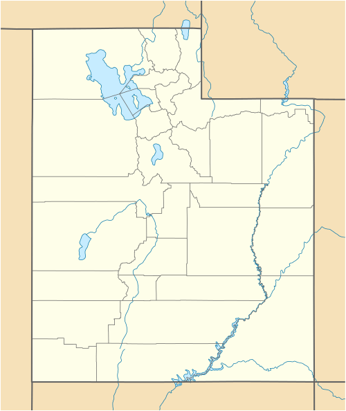  Mount Hillers Location in Utah | |
| Highest point | |
| Elevation | 10,741 ft (3,274 m) NAVD 88[1] |
| Prominence | 3,337 ft (1,017 m) [1] |
| Coordinates | 37°53′15″N 110°41′51″W / 37.8874879°N 110.6973711°WCoordinates: 37°53′15″N 110°41′51″W / 37.8874879°N 110.6973711°W [2] |
| Geography | |
| Location | Garfield County, Utah, U.S. |
| Parent range | Henry Mountains |
| Topo map | USGS Cass Creek Peak |
Mount Hillers is a summit in the Henry Mountains range, in Garfield County, Utah, in the United States. Its elevation is 10,741 feet (3,274 m) NAVD 88.[1]
It was named for John Karl Hillers, a government photographer.[3][4]
References
- 1 2 3 "Mount Hillers, Utah". Peakbagger.com. Retrieved 2016-04-21.
- ↑ "Mount Hillers". Geographic Names Information System. United States Geological Survey. Retrieved 2016-04-21.
- ↑ "Mount Hillers (UT)". summitpost.org. Retrieved 24 June 2014.
- ↑ Gannett, Henry (1905). The Origin of Certain Place Names in the United States. Govt. Print. Off. p. 157.
This article is issued from Wikipedia - version of the 10/16/2016. The text is available under the Creative Commons Attribution/Share Alike but additional terms may apply for the media files.