Mount Kanmuri (Gifu, Fukui)
| Mount Kanmuri | |
|---|---|
| 冠山 | |
 | |
| Highest point | |
| Elevation | 1,256.6 m (4,123 ft) |
| Coordinates | 35°46′47″N 136°24′34″E / 35.77972°N 136.40944°ECoordinates: 35°46′47″N 136°24′34″E / 35.77972°N 136.40944°E |
| Geography | |
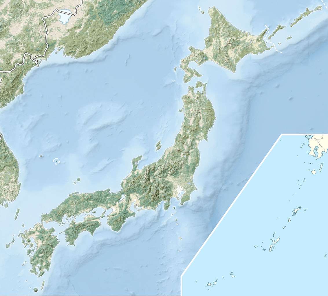  Mount Kanmuri Location in Japan | |
| Location |
Ibigawa, Gifu Prefecture Ikeda, Fukui Prefecture, Japan |
| Parent range | Ryōhaku Mountains |
Mount Kanmuri (冠山 Kanmuri-yama) is a mountain located on the border between Gifu and Fukui prefectures[1] in the Chūbu region of Japan. It is 1,256.6 m (4,123 ft) tall and part of the Ryōhaku Mountains. It is also the source of the Ibi River.[2]
The mountain peak has a small area that can only hold about 10 people, but it offers an unobstructed 360-degree panoramic view. There is also a triangulation station on the peak.
Hiking
There is one prepared hiking trail on the mountain, and it takes about 2 hours to reach the peak.[1] At the beginning of the trail, there are several steep climbs through an old growth forest. There is a fork in the path near the peak; the left fork leads to the Kanmuri Flats, while the right leads to the mountain peak.
References
- 1 2 Ibigawa Sightseeing: Mount Kanmuri. (Japanese) Town of Ibigawa. Accessed June 27, 2008.
- ↑ Tokuyama Dam and the Ibi River. (Japanese) Japan Water Agency. Accessed June 27, 2008.
 |
Wikimedia Commons has media related to Mount Kanmuri. |