Mount Kanmuri (Hatsukaichi, Hiroshima)
| Mount Kanmuri (Yoshiwa Kanmuri) | |
|---|---|
| 冠山 (吉和冠山) | |
|
Mount Yoshiwa Kanmuri | |
| Highest point | |
| Elevation | 1,339 m (4,393 ft) |
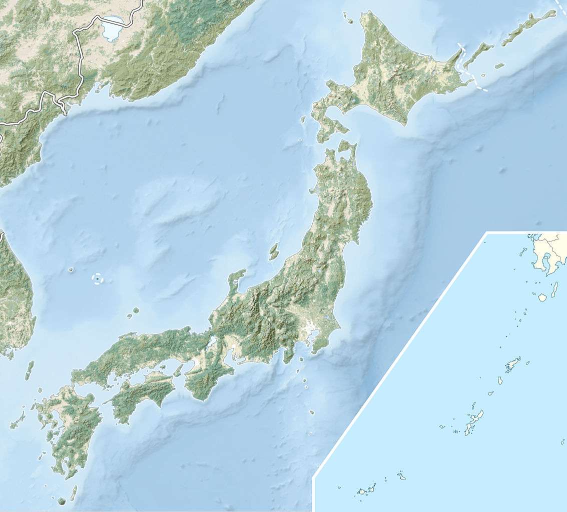
| Coordinates | 34°47′0″N 132°21′32″E / 34.78333°N 132.35889°ECoordinates: 34°47′0″N 132°21′32″E / 34.78333°N 132.35889°E |
| Naming | |
| Pronunciation | Japanese: [kanmuri-yama] |
| Geography | |
  Mount Yoshiwa Kanmuri | |
| Parent range | Chūgoku Mountains |
| Climbing | |
| Easiest route | Hiking |
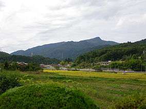
Mount Kanmuri (冠山 Kanmuri-yama), also known as Mount Yoshiwa Kanmuri (吉和冠山 Yoshiwa Kanmuri-yama), is a mountain located in the Yoshiwa District of Hatsukaichi, Hiroshima Prefecture, Japan. "Kanmuri" is a common name for mountains in Japan; Hiroshima Prefecture has six mountains by this name alone, hence the modifier "Yoshiwa".[1]
Description
Mount Yoshiwa Kanmuri has an elevation of 1,339 m (4,393 ft). The mountain is at the far west of the Chūgoku Mountains, and is part of Nishi-Chugoku Sanchi Quasi-National Park.[2] The plateaus of the southern base of Mount Yoshiwa Kanmuri features large stands of renge tsutsuji rhododendron, and the area is designated a natural monument by the Prefecture of Hiroshima.[3]
Recreation
Mominoki Prefectural Forest (もみのき森林公園 Mominoki Shinrin Kōen) has facilities for camping and hiking, and is located in the fir forests at the eastern foot of the mountain.[4]
Transportation
The Chugoku Expressway, also known as National Route 468, follows the southern base of Mount Yoshiwa Kanmuri.
External links
- Mominoki Prefectural Forest(Japanese)
References
- ↑ 吉和冠山(1339m)(Japanese)
- ↑ 第1章廿日市市・大野町の現状と課題(Japanese)
- ↑ "Yoshiwa". Nihon Daihyakka Zensho (Nipponika) (日本大百科全書(ニッポニカ) “Large Encyclopedia of Japan (Nipponika)”) (in Japanese). Tokyo: Shogakukan. 2012. Retrieved 2012-01-12.
- ↑ もみのき森林公園(Japanese)