Q'umirqucha (Canchis)
This article is about the mountain in Peru. For other uses, see Q'umir Qucha.
| Q'umirqucha | |
|---|---|
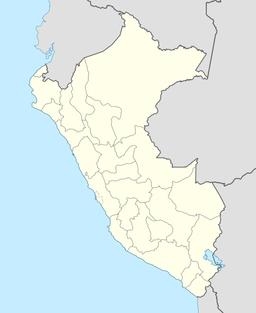  Q'umirqucha Peru | |
| Highest point | |
| Elevation | 5,400 m (17,700 ft) |
| Coordinates | 13°49′06″S 71°07′31″W / 13.81833°S 71.12528°WCoordinates: 13°49′06″S 71°07′31″W / 13.81833°S 71.12528°W [1] |
| Geography | |
| Location | Peru, Cusco Region |
| Parent range | Andes, Willkanuta mountain range |
Q'umirqucha (Quechua q'umir green, qucha lake,[2] "green lake", hispanicized spelling Comercocha) is a mountain in the Willkanuta mountain range in the Andes of Peru, about 5,400 metres (17,717 ft) high. It is situated in the Cusco Region, Canchis Province, Pitumarca District.[3][4] Q'umirqucha lies west of the lake Siwinaqucha and the mountain Pichaqani, between the mountain Wayruru Punku in the northeast and the Kuntur T'uqu in the south.
References
- ↑ ign.gob.pe IGN, Peru
- ↑ Teofilo Laime Ajacopa, Diccionario Bilingüe Iskay simipi yuyayk'ancha, La Paz, 2007 (Quechua-Spanish dictionary)
- ↑ escale.minedu.gob.pe - UGEL map of the Quispicanchis Province 1 (Cusco Region)
- ↑ travelatin.com Archived November 18, 2011, at the Wayback Machine. Sketch map of the area


This article is issued from Wikipedia - version of the 11/15/2016. The text is available under the Creative Commons Attribution/Share Alike but additional terms may apply for the media files.