Mount Useful
| Mount Useful | |
|---|---|
| Highest point | |
| Elevation | 1,436 metres (4,711 ft) AHD (approx.) [1] |
| Coordinates | 37°41′56″S 146°30′8″E / 37.69889°S 146.50222°ECoordinates: 37°41′56″S 146°30′8″E / 37.69889°S 146.50222°E [2] |
| Geography | |
| Location | Victoria, Australia |
| Parent range | Great Dividing Range |
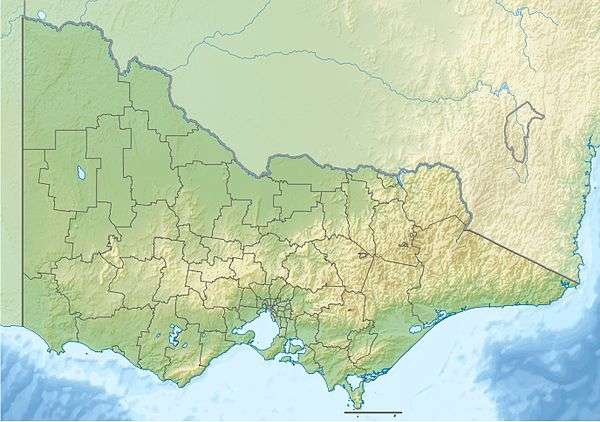

Mount Useful is a mountain located to the west of Licola in Victoria, Australia.[2] The summit lies within the Mount Useful Natural Features and Scenic Reserve which was established in 1979 and covers 354 hectares (875 acres).[3] The mountain has basalt cliffs with columnar jointing on the east and south-east sides.[4]
A fire lookout tower and a communications tower (primarily utilised by Telstra) are located on the summit.[5][6]
See also
References
- ↑ "Map of Mount Useful, VIC". Bonzle Digital Atlas of Australia. Retrieved 23 March 2013.
- 1 2 "Place Names Search: Mount Useful". Geoscience Australia. Retrieved 23 March 2013.
- ↑ "Mount Useful Natural Features and Scenic Reserve". Parks Victoria. Retrieved 23 March 2013.
- ↑ "Mount Useful". Victorian Resources Online. Department of Primary Industries. Retrieved 23 March 2013.
- ↑ "Fire two attacks". Gippsland Times & Maffra Spectator. 6 September 2012. Retrieved 23 March 2013.
- ↑ "Comms Site MT USEFUL". The Australian Communications and Media Authority. Retrieved 23 March 2013.
This article is issued from Wikipedia - version of the 12/6/2015. The text is available under the Creative Commons Attribution/Share Alike but additional terms may apply for the media files.