Narre Warren East, Victoria
| Narre Warren East Melbourne, Victoria | |||||||||||||
|---|---|---|---|---|---|---|---|---|---|---|---|---|---|
  Narre Warren East | |||||||||||||
| Coordinates | 37°57′40″S 145°22′01″E / 37.961°S 145.367°ECoordinates: 37°57′40″S 145°22′01″E / 37.961°S 145.367°E | ||||||||||||
| Population | 488 (2011 census)[1] | ||||||||||||
| Postcode(s) | 3804 | ||||||||||||
| Location | 38 km (24 mi) from Melbourne | ||||||||||||
| LGA(s) | Shire of Yarra Ranges | ||||||||||||
| State electorate(s) | Monbulk | ||||||||||||
| Federal Division(s) | La Trobe | ||||||||||||
| |||||||||||||
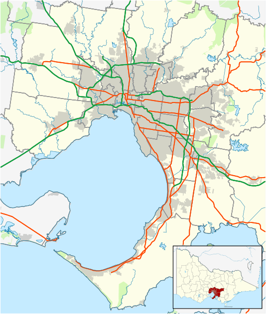
Narre Warren East is a small town in Melbourne, Victoria, Australia, 38 km south-east of Melbourne's central business district. Its local government area is the Shire of Yarra Ranges. At the 2011 census, Narre Warren East had a population of 488.[1]
Despite its name, Narre Warren East is actually located in a north-easterly direction from Narre Warren North. It is also separated from the rest of the Narre Warrens, which are a part of the City of Casey.
Narre Warren East Post Office was short-lived operating in 1911 and 1912.[2]
The Narre Warren East public hall is located on Berwick Road.
Kerrs Park is located in Narre Warren East. Muddy Creek, a tributary of Cardinia Creek flows through the reserve.
Narre Warren East has an Active Fire Brigade (CFA) with two appliances servicing the local and surrounding areas.
References
- 1 2 Australian Bureau of Statistics (31 October 2012). "Narre Warren East (State Suburb)". 2011 Census QuickStats. Retrieved 14 December 2014.
- ↑ Premier Postal History, Post Office List, retrieved 11 April 2008