Naypyidaw Union Territory
| Naypyidaw Union Territory နေပြည်တော် ပြည်တောင်စုနယ်မြေ | |
|---|---|
| Union Territory | |
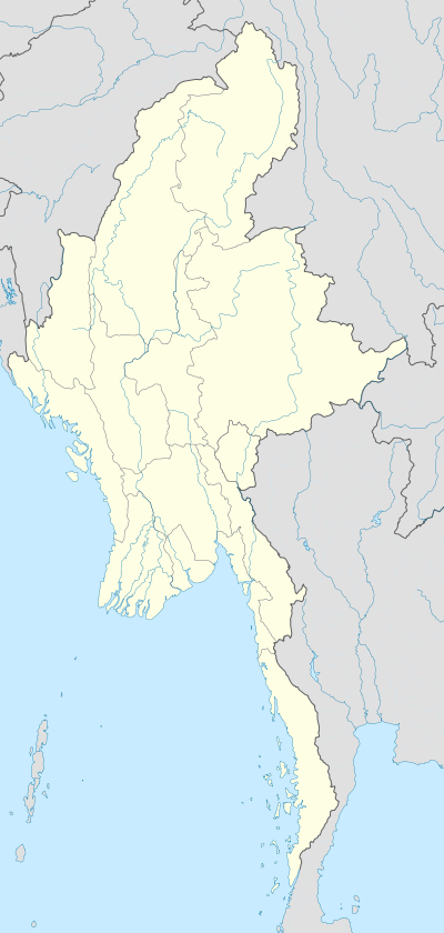  Naypyidaw Union Territory Location in Burma | |
| Coordinates: 19°45′0″N 96°6′0″E / 19.75000°N 96.10000°E | |
| Country |
 Burma Burma |
| Capital | Naypyidaw |
| Government | |
| • President of Burma | Htin Kyaw |
| • Mayor and Chairperson of the Naypyidaw Council | Myo Aung |
| Population (2014)[1] | |
| • Total | 1,160,242 |
| • Rank | 13th |
| Time zone | MST (UTC6:30) |
| Area code(s) | 2 (mobile: 69, 90)[2] |
| Administrative divisions of Myanmar |
|---|
| First-level |
| Second-level |
| Third-level |
| Fourth-level |
| Fifth-level |
Naypyidaw Union Territory (Burmese: နေပြည်တော် ပြည်တောင်စုနယ်မြေ, also spelt Naypyitaw) is an administrative division in central Burma (Myanmar).[3] The Union Territory encompasses the administrative capital of Burma, Naypyidaw.
Administrative divisions
The Naypyidaw Union Territory consists of the following districts and townships:
- Ottara District (a.k.a. North Naypyidaw)
- Ottarathiri Township (ဥတ္တရသီရိမြို့နယ်)
- Pobbathiri Township (ပုဗ္ဗသီရိမြို့နယ်)
- Tatkone Township (တပ်ကုန်းမြို့နယ်)
- Zeyathiri Township (ဇေယျာသီရိမြို့နယ်)
- Dekkhina District (a.k.a. South Naypyidaw)
- Dekkhinathiri Township (ဒက္ခိဏသီရိမြို့နယ်)
- Lewe Township (လယ်ဝေးမြို့နယ်)
- Pyinmana Township (ပျဉ်းမနားမြို့နယ်)
- Zabuthiri Township (ဇမ္ဗူသီရိမြို့နယ်)
Administration
Naypyidaw Union Territory is under the direct administration of the President. Day-to-day functions are carried out on the President's behalf by the Naypyidaw Council led by a Chairperson. The Chairperson and members of the Naypyidaw Council are appointed by the President and include both civilians and Armed Forces representatives.[4]
On 30 March 2011, President Thein Sein appointed Thein Nyunt as chairman of the Naypyidaw Council, along with 9 chair members: Than Htay, Colonel Myint Aung Than, Kan Chun, Paing Soe, Saw Hla, Myint Swe, Myint Shwe and Myo Nyunt.[5]
Demographics
| Historical population | ||
|---|---|---|
| Year | Pop. | ±% |
| 2014 | 1,160,242 | — |
| Source: 2014 Myanmar Census[1] | ||
References
- 1 2 Census Report. The 2014 Myanmar Population and Housing
Census. 2. Naypyitaw: Ministry of Immigration and Population. May 2015. p. 17. line feed character in
|series=at position 41 (help) - ↑ "Myanmar Area Codes". En.18dao.net. Retrieved 13 October 2014.
- ↑ Archived November 16, 2010, at the Wayback Machine.
- ↑ "Constitution of the Republic of the Union of Myanmar" (PDF). Upload.wikimedia.org. Retrieved 13 October 2014.
- ↑ Thein Sein (31 March 2011). "Notification No. 7/2011: Formation of Nay Pyi Taw Council" (PDF). New Light of Myanmar. p. 15. Retrieved 21 August 2011.
 |
Mandalay Region | | ||
| Mandalay Region |  |
Mandalay Region | ||
| ||||
 | ||||
| Mandalay Region |


| States | | |
|---|---|---|
| Regions | ||
| Self-Administered Zones | ||
| Self-Administered Divisions | ||
| Union Territories | ||
Coordinates: 21°58′N 96°05′E / 21.967°N 96.083°E