Not-A-Pe-Ka-Gon Site
|
Not-A-Pe-Ka-Gon Site | |
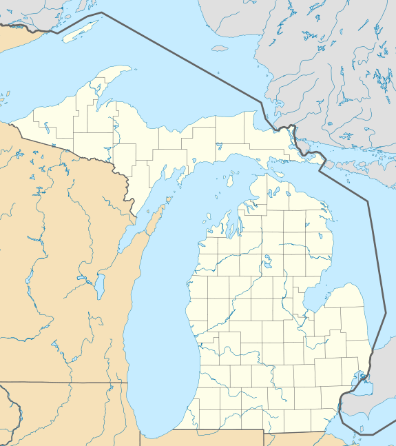   | |
| Location | near S Custer Road and the Pere Marquette R[1][2] |
|---|---|
| Nearest city | Custer, Michigan |
| Coordinates | 43°56′10″N 86°13′12″W / 43.93611°N 86.22000°WCoordinates: 43°56′10″N 86°13′12″W / 43.93611°N 86.22000°W |
| Area | 1 acre (0.40 ha) |
| NRHP Reference # | 73002155[3] |
| Significant dates | |
| Added to NRHP | July 27, 1973 |
| Designated MSHS | November 18, 1993[1] |
The Not-A-Pe-Ka-Gon Site or Notipekago Site, also known as the Quick Site, is a multi-component archaeological site located near where South Custer Road crosses the Pere Marquette River in Mason County, Michigan. It was designated a Michigan State Historic Site in 1993[1] and listed on the National Register of Historic Places in 1973.[3]
History
The oral tradition of the Odawa people holds that the Not-A-Pe-Ka-Gon Site was the site of an important 17th century battle between the Odawa and Mascouten peoples.[1] Many men from both sides of the conflict died in the battle, and their skulls were placed on sticks along the riverbank; the site became known as "Notipekago" or "Notipekagon" - literally, "heads on sticks."[4]
Years later, erosion exposed the previously buried remains of the warriors, leading to the modern archaeological discovery of the site.[1]
Description
The Not-A-Pe-Ka-Gon Site is located on two river terraces along the Pere Marquette River. The site contains three small mounds, and pottery and French trade goods were found.[5]
References
- 1 2 3 4 5 "Notipekago Commemorative Designation". Michigan State Housing Development Authority: Historic Sites Online. Retrieved November 13, 2013.
- ↑ The NRIS lists this site as "address restricted." However, the state of Michigan has placed a commemorative marker near the site. Given geo-coordinates are approximate.
- 1 2 National Park Service (2010-07-09). "National Register Information System". National Register of Historic Places. National Park Service.
- ↑ MI Department of Natural Resources (July 1978), Pere Marquette River Natural River Plan (PDF), pp. 19–21
- ↑ Beth Blenz (1981), Encyclopedia of Michigan, Somerset Publishers, ISBN 9780403099733
Further reading
- Nancy Nowak; Patricia Fisher (1971), The Custer-Walhalla Survey of the Pere Marquette River, Michigan State University
| Topics | |
|---|---|
| Lists by states |
|
| Lists by insular areas | |
| Lists by associated states | |
| Other areas | |
| |

