Nutaarmiut Island (Tasiusaq Bay)
For other uses, see Nutaarmiut (disambiguation).
|
Nutaarmiut settlement | |
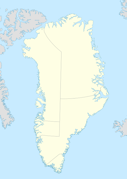  Nutaarmiut | |
| Geography | |
|---|---|
| Location | Greenland |
| Coordinates | 73°31′N 56°31′W / 73.517°N 56.517°WCoordinates: 73°31′N 56°31′W / 73.517°N 56.517°W |
| Archipelago | Upernavik Archipelago |
| Area | 1.51 km2 (0.58 sq mi) |
| Administration | |
|
Greenland | |
| Municipality | Qaasuitsup |
| Demographics | |
| Population | 36 (2010) |

Nutaarmiut Island (old spelling: Nutârmiut) is an island in the Qaasuitsup municipality in northwestern Greenland.
Geography
Nutaarmiut Island is located in Tasiusaq Bay, in the north-central part of Upernavik Archipelago. It is separated from Mattaangassut Island in the northwest by a narrow Ikerasakassak strait, and from Qallunaat Island in the north by the waterways of Tasiusaq Bay.[1]
Settlement
The island is home to Nutaarmiut, the smallest village in the archipelago, perched on the eastern shore of the island.
References
- ↑ Upernavik, Saga Map, Tage Schjøtt, 1992
This article is issued from Wikipedia - version of the 11/17/2016. The text is available under the Creative Commons Attribution/Share Alike but additional terms may apply for the media files.