Oostwold Airport
For the international airport near Groningen, see Groningen Airport Eelde.
| Oostwold Airport Vliegveld Oostwold | |||||||||||
|---|---|---|---|---|---|---|---|---|---|---|---|
 | |||||||||||
| IATA: none – ICAO: EHOW | |||||||||||
| Summary | |||||||||||
| Airport type | Public | ||||||||||
| Operator | Stichting Vliegveld Oostwold / Oldambt | ||||||||||
| Serves | Winschoten, Netherlands | ||||||||||
| Location | Oostwold | ||||||||||
| Elevation AMSL | 3 ft / 1 m | ||||||||||
| Coordinates | 53°12′29″N 007°01′54″E / 53.20806°N 7.03167°E | ||||||||||
| Website | www.Oostwold-Airport.nl | ||||||||||
| Map | |||||||||||
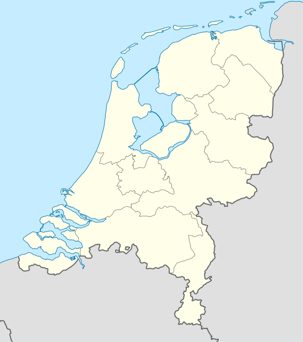  EHOW Location in the Netherlands | |||||||||||
| Runways | |||||||||||
| |||||||||||
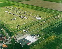
Oostwold Airport (Dutch: Vliegveld Oostwold), also known as Groningen Airport Oostwold, is a small general aviation airport in Oostwold, a village in municipality of Oldambt in the province of Groningen in the Netherlands. The airport is 3 NM (5.6 km; 3.5 mi) north of the city of Winschoten.[1] The ICAO code EHOW has been assigned to the airfield.
It has one runway, 07/25, with a length of 880 meters (2,887) feet. It has a grass surface, with a narrow concrete strip available for the first 600 meters (1,968 feet) in the 25 direction. Except for flights from Schengen countries, no international flights are allowed.
References
- ↑ Distance and heading from Winschoten (53°09'N 07°02'E) to Oostwold Airport (53°12'29"N 007°01'54"E)
External links
-
 Media related to Oostwold Airport at Wikimedia Commons
 - Oostwold Airport, official website
- Photos taken at Oostwold (EHOW) from Airliners.net
This article is issued from Wikipedia - version of the 11/25/2016. The text is available under the Creative Commons Attribution/Share Alike but additional terms may apply for the media files.