Palmyra Airport
For airport in Wisconsin, United States, see Palmyra Municipal Airport.
| Palmyra Airport مطار تدمر  | |||||||||||
|---|---|---|---|---|---|---|---|---|---|---|---|
| IATA: PMS – ICAO: OSPR | |||||||||||
| Summary | |||||||||||
| Airport type | Public / Military | ||||||||||
| Serves | Palmyra, Syria | ||||||||||
| Elevation AMSL | 403 m / 1,322 ft | ||||||||||
| Coordinates | 34°33′27″N 038°19′01″E / 34.55750°N 38.31694°E | ||||||||||
| Map | |||||||||||
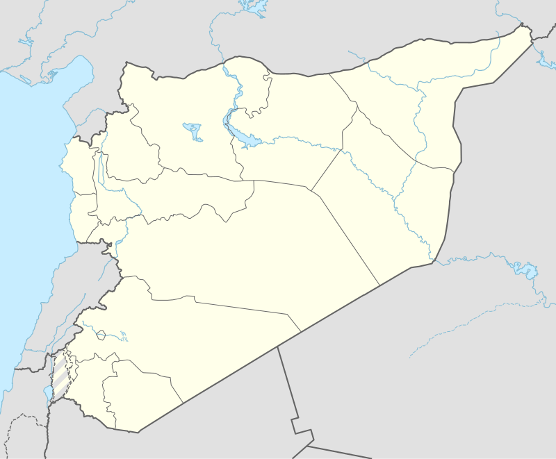  PMS Location of airport in Syria | |||||||||||
| Runways | |||||||||||
| |||||||||||
Palmyra Airport (Arabic: مطار تدمر) (IATA: PMS, ICAO: OSPR) is an airport serving Tadmur (ancient Palmyra),[1] a city in Syria.
Facilities
The airport resides at an elevation of 403 metres (1,322 ft) above mean sea level. It has one runway designated 08/26 with an asphalt surface measuring 2,880 by 45 metres (9,449 ft × 148 ft).[1]
Airlines and destinations
Due to the ongoing Syrian Civil War, there are currently no scheduled flights operated to or from the airport. On 20 May 2015, ISIL captured the airbase.[3]
As of 27 March 2016, it has since been recaptured by the Syrian Army following the 2016 Palmyra offensive.[4]
References
- 1 2 3 Airport information for OSPR from DAFIF (effective October 2006)
- ↑ Airport information for PMS at Great Circle Mapper. Source: DAFIF (effective October 2006).
- ↑ Leith Fadel. "Battlefield Update from Palmyra: ISIS Captures the Ancient and Modern Sectors". Al-Masdar News. Retrieved 22 May 2015.
- ↑ "Regime forces takes control on Tadmur prison and military airport". Syrian Observatory For Human Rights. Retrieved 27 March 2016.
External links
This article is issued from Wikipedia - version of the 11/27/2016. The text is available under the Creative Commons Attribution/Share Alike but additional terms may apply for the media files.