Pembroke Airport
| Pembroke Airport | |||||||||||
|---|---|---|---|---|---|---|---|---|---|---|---|
 | |||||||||||
| IATA: YTA – ICAO: CYTA | |||||||||||
| Summary | |||||||||||
| Airport type | Public | ||||||||||
| Operator | Pembroke and Area Airport Commission | ||||||||||
| Location | Pembroke, Ontario | ||||||||||
| Time zone | EST (UTC−05:00) | ||||||||||
| • Summer (DST) | EDT (UTC−04:00) | ||||||||||
| Elevation AMSL | 532 ft / 162 m | ||||||||||
| Coordinates | 45°51′52″N 077°15′05″W / 45.86444°N 77.25139°WCoordinates: 45°51′52″N 077°15′05″W / 45.86444°N 77.25139°W | ||||||||||
| Map | |||||||||||
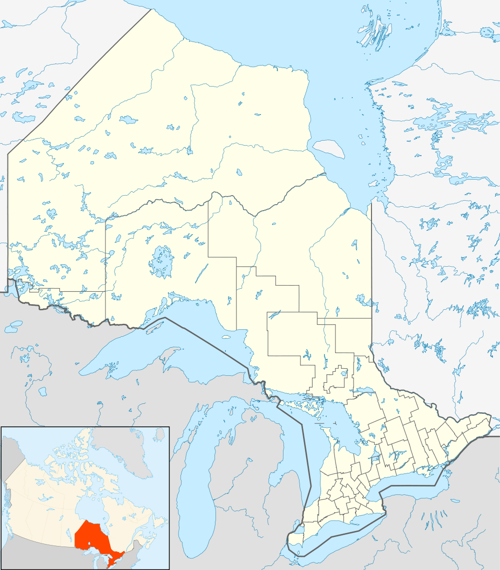  CYTA Location in Ontario | |||||||||||
| Runways | |||||||||||
| |||||||||||
|
Source: Canada Flight Supplement[1] | |||||||||||
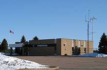
Pembroke Airport, (IATA: YTA, ICAO: CYTA), is located 5.2 nautical miles (9.6 km; 6.0 mi) northwest of the city of Pembroke, Ontario, Canada.
Pem-Air operated regularly scheduled air service between Pembroke Airport and Toronto for 31 years; ending its scheduled operation in December, 2000.[2]
GO Air Express operated briefly from November 2002 to April 2003[3] with flights to Toronto.[4]
Since 2003 there is no full-time tenant, but the airport is used by Ministry of Natural Resources (Ontario) water bombers.
References
- ↑ Canada Flight Supplement. Effective 0901Z 15 September 2016 to 0901Z 10 November 2016
- ↑ Pem-Air grounds passenger flights
- ↑ http://www.thedailyobserver.ca/2012/05/09/pembroke-airport-confident-of-landing-a-carrier
- ↑ http://lachlan.bluehaze.com.au/chalk_river/travel.html
| By name | |
|---|---|
| By location indicator | |
| By province/territory | |
| By region | |
| National Airports System | |
| Related | |
| |


This article is issued from Wikipedia - version of the 12/4/2016. The text is available under the Creative Commons Attribution/Share Alike but additional terms may apply for the media files.