Pfalzgrafenweiler
| Pfalzgrafenweiler | ||
|---|---|---|
| ||
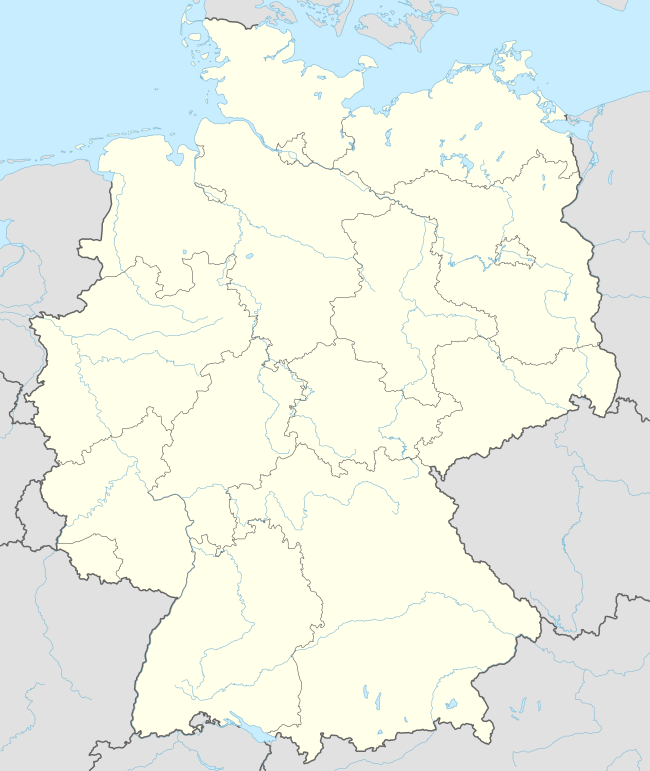  Pfalzgrafenweiler | ||
| Coordinates: 48°31′42″N 8°34′4″E / 48.52833°N 8.56778°ECoordinates: 48°31′42″N 8°34′4″E / 48.52833°N 8.56778°E | ||
| Country | Germany | |
| State | Baden-Württemberg | |
| Admin. region | Karlsruhe | |
| District | Freudenstadt | |
| Government | ||
| • Mayor | Dieter Bischoff | |
| Area | ||
| • Total | 44.72 km2 (17.27 sq mi) | |
| Population (2015-12-31)[1] | ||
| • Total | 7,101 | |
| • Density | 160/km2 (410/sq mi) | |
| Time zone | CET/CEST (UTC+1/+2) | |
| Postal codes | 72285 | |
| Dialling codes | 07445 | |
| Vehicle registration | FDS | |
| Website | www.pfalzgrafenweiler.de | |

Pfalzgrafenweiler is a town in the district of Freudenstadt in Baden-Württemberg in southern Germany.
The Counts of Tübingen had a large castle located at Pfalzgrafenweiler in the 13th and 14th centuries. Between 1972 and 1975, the municipalities of Bösingen, Durrweiler, Edelweiler, Herzogsweiler, and Kälberbronn were added to Pfalzgrafenweiler.
Sister city

 |
Wikimedia Commons has media related to Pfalzgrafenweiler. |
References
External links
Towns and municipalities in Freudenstadt (district) | ||
|---|---|---|
 | ||
This article is issued from Wikipedia - version of the 6/22/2015. The text is available under the Creative Commons Attribution/Share Alike but additional terms may apply for the media files.