Picauville
| Picauville | ||
|---|---|---|
|
The church of Saint-Candide | ||
| ||
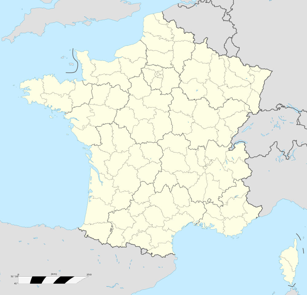  Picauville | ||
|
Location within Normandy region 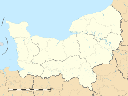 Picauville | ||
| Coordinates: 49°22′46″N 1°24′01″W / 49.3794°N 1.4002°WCoordinates: 49°22′46″N 1°24′01″W / 49.3794°N 1.4002°W | ||
| Country | France | |
| Region | Normandy | |
| Department | Manche | |
| Arrondissement | Cherbourg | |
| Canton | Carentan | |
| Intercommunality | Baie du Cotentin | |
| Government | ||
| • Mayor (2008–2014) | Philippe Catherine | |
| Area1 | 56.85 km2 (21.95 sq mi) | |
| Population (2013)2 | 3,053 | |
| • Density | 54/km2 (140/sq mi) | |
| Time zone | CET (UTC+1) | |
| • Summer (DST) | CEST (UTC+2) | |
| INSEE/Postal code | 50400 / 50360 | |
| Elevation |
2–30 m (6.6–98.4 ft) (avg. 26 m or 85 ft) | |
|
1 French Land Register data, which excludes lakes, ponds, glaciers > 1 km² (0.386 sq mi or 247 acres) and river estuaries. 2 Population without double counting: residents of multiple communes (e.g., students and military personnel) only counted once. | ||
.jpg)
Picauville is a commune in the Manche department in Normandy in north-western France. On 1 January 2016, the former communes of Amfreville, Cretteville, Gourbesville, Houtteville and Vindefontaine were merged into Picauville.[1] The inhabitants are called Picauvillais.
Heraldry
.svg.png) |
The arms of Picauville are blazoned : Or, a crown of thorns sable between 3 mallets vert, and on a chief gules a leopard Or. |
World War II
Picauville was one of the first towns liberated by Allied forces following the Normandy landings in early June 1944; German General Wilhelm Falley was killed there by an American paratrooper shortly after the invasion began. Engineers of the Ninth Air Force IX Engineering Command began construction of a combat Advanced Landing Ground to the northwest of the town. Declared operational on 26 June, the airfield was designated as "A-8", it was used by the 405th Fighter Group which flew P-47 Thunderbolts until mid-September when the unit moved to St. Dizier, near Nancy.[2] Afterward, the airfield was closed. [3][4] A cairn marking the location of the airfield is on the east side of the D69, 2.3 km outside of Picauville on the way to Gourbesville (50°44'12.20"N, 1°44'10.18"W).[5]
See also
References
- ↑ Arrêté préfectoral 23 December 2015 (French)
- ↑ Nolte, Reginald G. Thunder Monsters Over Europe: A History of the 405th Fighter Group in World War II, Sunflower University Press, 1986, ISBN 0-89745-075-2.
- ↑ Johnson, David C. U.S. Army Air Forces Continental Airfields (ETO), D-Day to V-E Day; Research Division, USAF Historical Research Center, Maxwell AFB, Alabama, 1988.
- ↑ Maurer, Maurer. Air Force Combat Units of World War II. Maxwell AFB, Alabama: Office of Air Force History, 1983. ISBN 0-89201-092-4.
- ↑ http://www.normandie44lamemoire.com/versionanglaise/fichesvillesus/picauvilleus2.html retrieved January 18, 2010, and Google Earth.
External links
 |
Wikimedia Commons has media related to Picauville. |
- Picauville Public Library official website (médiathèque de Picauville)