Pietralunga
| Pietralunga | |
|---|---|
| Comune | |
| Comune di Pietralunga | |
 | |
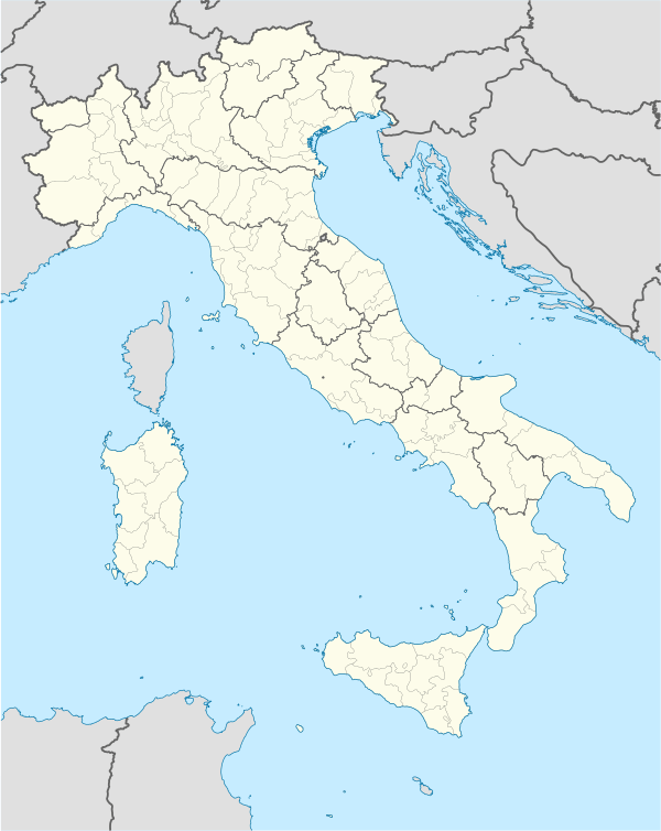  Pietralunga Location of Pietralunga in Italy | |
| Coordinates: 43°27′N 12°26′E / 43.450°N 12.433°ECoordinates: 43°27′N 12°26′E / 43.450°N 12.433°E | |
| Country | Italy |
| Region | Umbria |
| Province / Metropolitan city | Perugia (PG) |
| Frazioni | Castel Guelfo, Colle Antico, Corniole, San Biagio, San Faustino |
| Government | |
| • Mayor | Mirko Ceci |
| Area | |
| • Total | 140.2 km2 (54.1 sq mi) |
| Elevation | 566 m (1,857 ft) |
| Population (Dec. 2004) | |
| • Total | 2,343 |
| • Density | 17/km2 (43/sq mi) |
| Demonym(s) | Pietralunghesi |
| Time zone | CET (UTC+1) |
| • Summer (DST) | CEST (UTC+2) |
| Postal code | 06026 |
| Dialing code | 075 |
| Patron saint | Saint Gaudentius |
| Saint day | 29 September |
| Website | Official website |
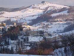
Pietralunga is a comune (municipality) in the Province of Perugia in the Italian region Umbria, located about 35 km (22 mi) north of Perugia. As of 31 December 2004, it had a population of 2,343 and an area of 140.2 km².[1]
Pietralunga borders the following municipalities: Apecchio, Cagli, Città di Castello, Gubbio, Montone, Umbertide.
History
As a small medieval town in Italy, it has many mentions by travelers and adventurers, dating back to 1000 A.D. It is also home to several ancient Roman ruins.[2] According to history, St. Crescenziano was killed near the town's center.[3] On 11 September 1334 Giovanni di Lorenzo de Picardie traveled through Pietralunga as part of the Ax Miracle of the Holy Face of Lucca.
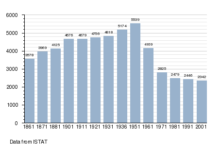
Demographic evolution
References
- ↑ All demographics and other statistics: Italian statistical institute Istat.
- ↑ "Pietralunga". Penelope.uchicago.edu. Retrieved 2012-08-05.
- ↑ "Pietralunga Italy: tourism holidays in Pietralunga holiday travel and Pietralunga hotels". Bella Umbria. Retrieved 2012-08-05.
External links
This article is issued from Wikipedia - version of the 4/26/2016. The text is available under the Creative Commons Attribution/Share Alike but additional terms may apply for the media files.