Pinos (Zacatecas)
| Pinos | |
|---|---|
| Town | |
| Etymology: from the abundance of pine trees in the area | |
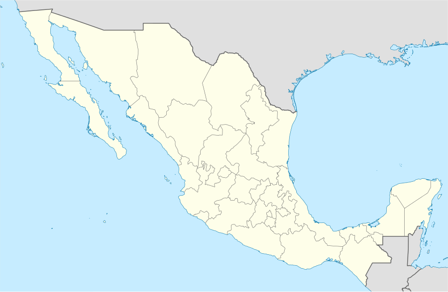  Pinos Location in Mexico | |
| Coordinates: 22°17′50″N 101°34′30″W / 22.29722°N 101.57500°WCoordinates: 22°17′50″N 101°34′30″W / 22.29722°N 101.57500°W | |
| Country |
 Mexico Mexico |
| state | Zacatecas |
| Municipality | Pinos |
| Largest city | Pinos |
| foundation | 12 February 1594 |
| Government | |
| • municipal president | Alfonso Contreras Hernández |
| Area | |
| • Total | 3,152 km2 (1,217 sq mi) |
| Population (2010)[1] | |
| • Total | 5,611 |
| • Density | 1.8/km2 (4.6/sq mi) |
| Time zone | Central time (UTC-06:00) |
| • Summer (DST) | central time (UTC-07:00) |
| ISO 3166 code | MEX |
| Pueblo de Pinos | |
|---|---|
| Name as inscribed on the World Heritage List | |
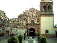 | |
| Location | Mexico |
| Criteria | ii, iv |
| Reference | 1351-043 |
| Inscription history | |
| Inscription | 2010 (34th Session) |
The town of Pinos is located on the southeastern end of the state of Zacatecas in the municipality of Pinos.
References
- ↑ Instituto Nacional de Estadística y Geografía (2010). "Principales resultados por localidad 2010 (ITER)".
This article is issued from Wikipedia - version of the 3/12/2016. The text is available under the Creative Commons Attribution/Share Alike but additional terms may apply for the media files.