Piz Grisch
For other mountains with the same name, see Laaxer Stöckli and Piz Grisch (Albula Alps).
| Piz Grisch | |
|---|---|
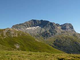 Piz Grisch from Alp Andies (north side) | |
| Highest point | |
| Elevation | 3,062 m (10,046 ft) |
| Prominence | 546 m (1,791 ft) [1] |
| Parent peak | Piz Platta |
| Coordinates | 46°31′52.4″N 9°28′22.6″E / 46.531222°N 9.472944°ECoordinates: 46°31′52.4″N 9°28′22.6″E / 46.531222°N 9.472944°E |
| Geography | |
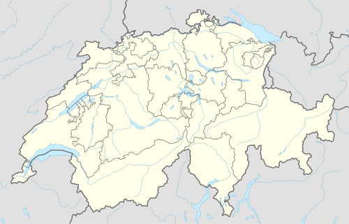  Piz Grisch Location in Switzerland | |
| Location | Hinterrhein District, Graubünden, Switzerland |
| Parent range | Oberhalbstein Alps |
Piz Grisch is a mountain of the Oberhalbstein Alps, overlooking Innerferrera in the Swiss canton of Graubünden. A small glacier lies at the base of its northern face, the Glatscher da Sut Fuina.
References
External links
 Media related to Piz Grisch at Wikimedia Commons
- Piz Grisch on Hikr
This article is issued from Wikipedia - version of the 5/9/2016. The text is available under the Creative Commons Attribution/Share Alike but additional terms may apply for the media files.