Piz Timun
| Piz Timun | |
|---|---|
| Pizzo d'Emet | |
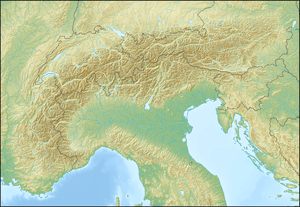  Piz Timun Location in the Alps | |
| Highest point | |
| Elevation | 3,209 m (10,528 ft) |
| Prominence | 823 m (2,700 ft) [1] |
| Isolation | 10.2 km (6.3 mi) [2] |
| Parent peak | Piz Platta |
| Coordinates | 46°28′01″N 9°24′34″E / 46.46694°N 9.40944°ECoordinates: 46°28′01″N 9°24′34″E / 46.46694°N 9.40944°E |
| Geography | |
| Location |
Lombardy, Italy Graubünden, Switzerland |
| Parent range | Oberhalbstein Range |
Piz Timun (also known as Pizzo d'Emet) is a mountain of the Oberhalbstein Range, located on the border between Italy and Switzerland. On its eastern side it overlooks the artificial lake Lago di Lei.
See also
References
- ↑ Retrieved from the Swisstopo topographic maps (1:25,000). The key col is the Passo di Angeloga (2,386 m).
- ↑ Retrieved from Google Earth. The nearest point of higher elevation is east of Pizzo Tambo.
External links
This article is issued from Wikipedia - version of the 1/3/2016. The text is available under the Creative Commons Attribution/Share Alike but additional terms may apply for the media files.