Podili
| Podili పొదిలి | |
|---|---|
| Census Town | |
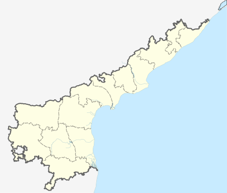  Podili Location in Andhra Pradesh, India | |
| Coordinates: 15°36′14″N 79°36′29″E / 15.604°N 79.608°ECoordinates: 15°36′14″N 79°36′29″E / 15.604°N 79.608°E | |
| Country | India |
| State | Andhra Pradesh |
| District | Prakasam |
| Mandal | Podili |
| Area[1] | |
| • Total | 43.88 km2 (16.94 sq mi) |
| Population (2011)[1] | |
| • Total | 31,145 |
| • Density | 710/km2 (1,800/sq mi) |
| Languages | |
| • Official | Telugu |
| Time zone | IST (UTC+5:30) |
| PIN | 523240 |
| Telephone code | +91–8499 |
| Vehicle registration | AP–27 |
Podili is a census town in Prakasam district of the Indian state of Andhra Pradesh. It is the mandal headquarters of Podili mandal in Kandukur revenue division.[2]
Education
The primary and secondary school education is imparted by government, aided and private schools, under the School Education Department of the state.[3][4] The medium of instruction followed by different schools are English, Telugu.
References
- 1 2 "District Census Handbook - Prakasam" (PDF). Census of India. p. 16,17,48. Retrieved 18 January 2015.
- ↑ "Chittoor District Mandals" (PDF). Census of India. pp. 138,174–175. Retrieved 19 June 2015.
- ↑ "School Eduvation Department" (PDF). School Education Department, Government of Andhra Pradesh. Retrieved 7 November 2016.
- ↑ "The Department of School Education - Official AP State Government Portal | AP State Portal". www.ap.gov.in. Retrieved 7 November 2016.
This article is issued from Wikipedia - version of the 11/8/2016. The text is available under the Creative Commons Attribution/Share Alike but additional terms may apply for the media files.