Point Hicks Marine National Park
| Point Hicks Marine National Park Victoria | |
|---|---|
|
IUCN category II (national park) | |
  Point Hicks Marine National Park | |
| Nearest town or city | Cann River |
| Coordinates | 37°48′S 149°15′E / 37.800°S 149.250°ECoordinates: 37°48′S 149°15′E / 37.800°S 149.250°E |
| Established | 16 November 2002[1] |
| Area | 40 km2 (15.4 sq mi)[1] |
| Managing authorities | Parks Victoria |
| Website | Point Hicks Marine National Park |
| See also | Protected areas of Victoria |
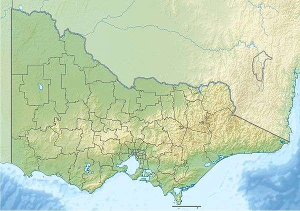
The Point Hicks Marine National Park is a protected marine national park in situated off Point Hicks in the East Gippsland region of Victoria, Australia. The 4,000-hectare (9,900-acre) marine park is situated approximately 450 kilometres (280 mi) east of Melbourne and 25 kilometres (16 mi) south of Cann River,[2] adjacent to the Croajingolong National Park and Point Hicks Lighthouse Reserve.
The marine national park contains the site of two shipwrecks: the SS Kerangie lost in 1879, and the SS Saros lost in 1937.[3]
Point Hicks represents Victoria’s warmer eastern marine environment, and contains species that do not occur in the cooler waters to the west.[4]
See also
References
- 1 2 Port Hicks Marine National Park Management Plan (PDF). Parks Victoria (PDF). Melbourne: Government of Victoria. July 2006. pp. 1, 5. ISBN 0-7311-8352-5. Retrieved 27 August 2014.
- ↑ "Point Hicks Marine National Park". Parks Victoria. Government of Victoria. Retrieved 5 February 2012.
- ↑ "SS Saros Victorian Heritage Register (VHR) Number S610". Victorian Heritage Database. Heritage Victoria.
- ↑ "Point Hicks Marine National Park visitor guide" (PDF). Parks Victoria (PDF). Government of Victoria. November 2011. Retrieved 5 February 2012.
External links
- "Marine National Parks and Marine Sanctuaries Boundary Coordinates" (PDF). Parks Victoria (PDF). Government of Victoria. July 2013.
- "Point Hicks Marine National Park: Marine Natural Values Study Summary" (PDF). Parks Victoria and Deakin University (PDF). Government of Victoria.
Marine and coastal parks of Victoria, Australia | ||
|---|---|---|
| Marine and coastal parks |
| .svg.png) |
| Marine national parks | ||
| Marine sanctuaries |
| |
This article is issued from Wikipedia - version of the 4/4/2016. The text is available under the Creative Commons Attribution/Share Alike but additional terms may apply for the media files.