Pointe de Tourtemagne
| Pointe de Tourtemagne | |
|---|---|
| Turtmannspitze | |
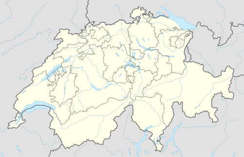  Pointe de Tourtemagne Location in Switzerland | |
| Highest point | |
| Elevation | 3,080 m (10,100 ft) |
| Prominence | 206 m (676 ft) [1] |
| Coordinates | 46°12′16.1″N 7°39′41.8″E / 46.204472°N 7.661611°ECoordinates: 46°12′16.1″N 7°39′41.8″E / 46.204472°N 7.661611°E |
| Geography | |
| Location | Valais, Switzerland |
| Parent range | Pennine Alps |
The Pointe de Tourtemagne (also known as Turtmannspitze) is a mountain of the Swiss Pennine Alps, located east of St. Luc in the canton of Valais. It lies between the valleys of Anniviers and Turtmann.
References
External links
This article is issued from Wikipedia - version of the 6/2/2016. The text is available under the Creative Commons Attribution/Share Alike but additional terms may apply for the media files.