Poopó Municipality
| Poopó Municipality | |
|---|---|
| Municipality | |
|
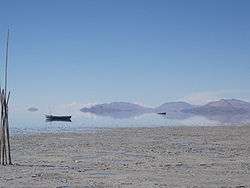
This is a view of Lake Poopó taken from the south eastern shore near the village of Llapallapani. | |
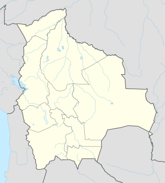  Poopó Municipality Location of the Poopó Municipality within Bolivia | |
| Coordinates: 18°20′0″S 66°35′0″W / 18.33333°S 66.58333°WCoordinates: 18°20′0″S 66°35′0″W / 18.33333°S 66.58333°W | |
| Country |
 Bolivia Bolivia |
| Department | Oruro Department |
| Province | Poopó Province |
| Cantons | 3 |
| Seat | Poopó |
| Government | |
| • Mayor | Nicanor Lopez Choque (2008) |
| • President | Jorge Choque Bautista (2008) |
| Area | |
| • Total | 269 sq mi (697 km2) |
| Elevation | 12,100 ft (3,700 m) |
| Population (2001) | |
| • Total | 6,163 |
Poopó Municipality is the first municipal section of the Poopó Province in the Oruro Department, Bolivia. Its capital is Poopó.[1]
Geography
The municipality lies east of the Desaguadero River where it connects Uru Uru Lake and Poopó Lake.
Some of the highest mountains of the municipality are listed below:[1][2]
|
|
|
Subdivision
The municipality is divided into three cantons.
- Coripata Canton
- Poopó Canton
- Venta y Media Canton
Languages
The languages spoken in the Poopó Municipality are mainly Spanish, Quechua and Aymara .
| Language | Inhabitants |
|---|---|
| Quechua | 4,439 |
| Aymara | 1,105 |
| Guaraní | 13 |
| Another native | 6 |
| Spanish | 5,189 |
| Foreign | 27 |
| Only native | 733 |
| Native and Spanish | 3,769 |
| Only Spanish | 1,420 |
References
External links
This article is issued from Wikipedia - version of the 8/8/2016. The text is available under the Creative Commons Attribution/Share Alike but additional terms may apply for the media files.