Porto Tolle
| Porto Tolle | |
|---|---|
| Comune | |
| Comune di Porto Tolle | |
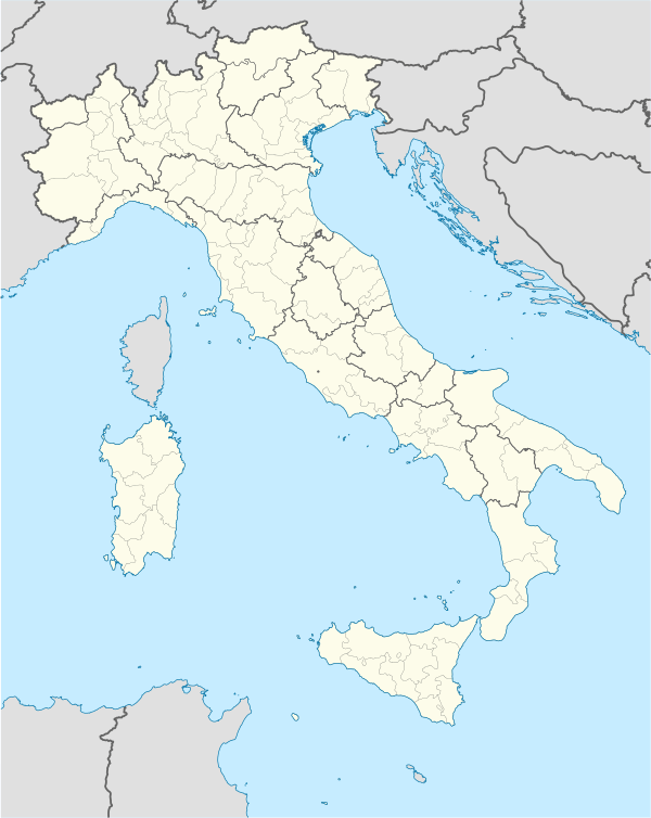  Porto Tolle Location of Porto Tolle in Italy | |
| Coordinates: 44°57′N 12°19′E / 44.950°N 12.317°ECoordinates: 44°57′N 12°19′E / 44.950°N 12.317°E | |
| Country | Italy |
| Region | Veneto |
| Province / Metropolitan city | Rovigo (RO) |
| Frazioni | Boccasette, Ca' Mello, Ca' Tiepolo (sede comunale), Ca' Venier, Ca' Zuliani, Donzella, Pila, Polesine Camerini, Santa Giulia, Scardovari, Tolle |
| Area | |
| • Total | 227.63 km2 (87.89 sq mi) |
| Elevation | 1 m (3 ft) |
| Population (2007)[1] | |
| • Total | 10,277 |
| • Density | 45/km2 (120/sq mi) |
| Demonym(s) | Portotollesi |
| Time zone | CET (UTC+1) |
| • Summer (DST) | CEST (UTC+2) |
| Postal code | 45018 |
| Dialing code | 0426 |
| Website | Official website |
Porto Tolle is a town in the province of Rovigo, Veneto, Italy.
The municipality of Porto Tolle contains the frazioni (subdivisions, mainly villages and hamlets):Boccasette, Ca' Mello, Ca' Tiepolo (the headquarters of the municipality), Ca' Venier, Ca' Zuliani, Donzella, Pila, Polesine Camerini, Santa Giulia, Scardovari and Tolle.
Twin towns
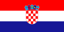
Porto Tolle is twinned with:

References
This article is issued from Wikipedia - version of the 3/28/2016. The text is available under the Creative Commons Attribution/Share Alike but additional terms may apply for the media files.