Postiglione
| Postiglione | |
|---|---|
| Comune | |
| Comune di Postiglione | |
|
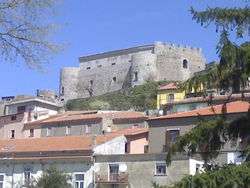
The castle in town's center | |
 | |
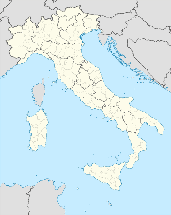  Postiglione Location of Postiglione in Italy | |
| Coordinates: 40°34′N 15°14′E / 40.567°N 15.233°ECoordinates: 40°34′N 15°14′E / 40.567°N 15.233°E | |
| Country | Italy |
| Region | Campania |
| Province / Metropolitan city | Salerno (SA) |
| Frazioni | Canneto, Duchessa, Selvanera, Terzo di Mezzo, Zancuso |
| Area | |
| • Total | 47 km2 (18 sq mi) |
| Elevation | 615 m (2,018 ft) |
| Population (1 April 2009)[1] | |
| • Total | 2,312 |
| • Density | 49/km2 (130/sq mi) |
| Demonym(s) | Postiglionesi |
| Time zone | CET (UTC+1) |
| • Summer (DST) | CEST (UTC+2) |
| Postal code | 84026 |
| Dialing code | 0828 |
| Patron saint | San Giorgio and San Nicola |
| Saint day | 31 July |
| Website | Official website |
Postiglione is a town and comune in the province of Salerno in the Campania region of south-western Italy.
Geography
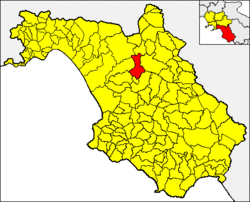
Located in Cilento, below the Alburni mountains, borders with the municipalities of Altavilla Silentina, Campagna, Castelcivita, Controne, Contursi Terme, Serre and Sicignano degli Alburni.
Postiglione counts 5 frazioni: Canneto, Duchessa, Selvanera, Terzo di Mezzo and Zancuso. Canneto, located on the road between Postiglione and Controne, is the most populated one.
References
- ↑ All demographics and other statistics from the Italian statistical institute (Istat); Dati - Popolazione residente all'1/4/2009
External links
 Media related to Postiglione at Wikimedia Commons
This article is issued from Wikipedia - version of the 5/31/2015. The text is available under the Creative Commons Attribution/Share Alike but additional terms may apply for the media files.