Potamos tou Kampou
| Potamos tou Kampou | |
|---|---|
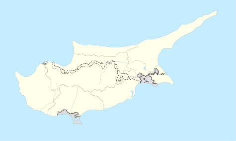  Potamos tou Kampou | |
| Coordinates: 35°08′39″N 32°48′28″E / 35.14417°N 32.80778°ECoordinates: 35°08′39″N 32°48′28″E / 35.14417°N 32.80778°E | |
| Country |
 Cyprus Cyprus |
| • District | Nicosia District |
| Country (controlled by) |
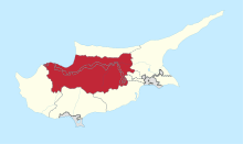
 Northern Cyprus Northern Cyprus |
| • District | Güzelyurt District |
| Population (2011)[1] | |
| • Total | 669 |
| Time zone | EET (UTC+2) |
| • Summer (DST) | EEST (UTC+3) |
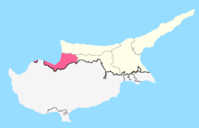
Potamos tou Kampou (Greek: Πoταμός του Κάμπου; Turkish: Yedidalga) is a small village in Cyprus, west of Karavostasi. De facto, it is under the control of Northern Cyprus.
References
- ↑ "KKTC 2011 Nüfus ve Konut Sayımı" [TRNC 2011 Population and Housing Census] (PDF) (in Turkish). TRNC State Planning Organization. 6 August 2013.
This article is issued from Wikipedia - version of the 11/9/2014. The text is available under the Creative Commons Attribution/Share Alike but additional terms may apply for the media files.