Old Potter, Arkansas
| Old Potter, Arkansas | |
|---|---|
| Unincorporated community | |
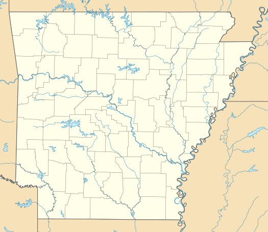  Old Potter, Arkansas Potter Junction's position in Arkansas | |
| Coordinates: 34°33′2″N 94°18′22″W / 34.55056°N 94.30611°WCoordinates: 34°33′2″N 94°18′22″W / 34.55056°N 94.30611°W | |
| Country |
 United States United States |
| State |
 Arkansas Arkansas |
| County | Polk |
| Township | Potter |
| Elevation[1] | 313 m (1,027 ft) |
| Time zone | Central (CST) (UTC-6) |
| • Summer (DST) | CDT (UTC-5) |
| ZIP code | 71953 |
| Area code(s) | 870 |
| GNIS feature ID | 73178 |
| U.S. Geological Survey Geographic Names Information System: Old Potter, Arkansas | |
Old Potter,[2] also known as Potter Junction,[1] is an unincorporated community in Potter Township, Polk County, Arkansas, United States. It is located along U.S. Route 59/U.S. Route 71 south of Mena, where Highway 375 (AR 375) begins.[3] The community of Potter is 2 miles (3.2 km) west on AR 375, where it meets the Kansas City Southern Railway.
References
- 1 2 "Potter Junction, Arkansas". Geographic Names Information System. United States Geological Survey. Retrieved April 20, 2012.
- ↑ Google Street View photo of sign for Old Potter posted by AHTD, taken September 2013
- ↑ Arkansas Atlas and Gazetteer (Map) (Second ed.). DeLorme. § 46.
Municipalities and communities of Polk County, Arkansas, United States | ||
|---|---|---|
| Cities | 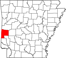 | |
| Towns | ||
| Unincorporated communities | ||
Hhh
This article is issued from Wikipedia - version of the 11/9/2016. The text is available under the Creative Commons Attribution/Share Alike but additional terms may apply for the media files.