Prathipadu, Guntur district
| Prathipadu ప్రత్తిపాడు | |
|---|---|
| Village | |
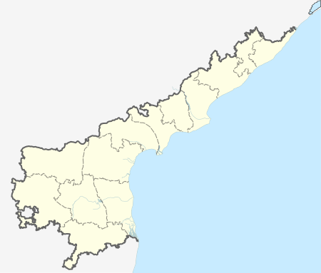  Prathipadu  Prathipadu Location in Andhra Pradesh, India | |
| Coordinates: 16°11′16″N 80°20′21″E / 16.18778°N 80.33917°ECoordinates: 16°11′16″N 80°20′21″E / 16.18778°N 80.33917°E | |
| Country | India |
| State | Andhra Pradesh |
| District | Guntur |
| Mandal | Prathipadu |
| Area[1] | |
| • Total | 22.55 km2 (8.71 sq mi) |
| Elevation[2] | 24 m (79 ft) |
| Population (2011)[3] | |
| • Total | 14,305 |
| • Density | 630/km2 (1,600/sq mi) |
| Languages | |
| • Official | Telugu |
| Time zone | IST (UTC+5:30) |
| PIN | 522 019 |
| Telephone code | +91– |
| Vehicle registration | Ap 07 |
Prathipadu is a village in Guntur district of the Indian state of Andhra Pradesh. It is located in Prathipadu mandal of Guntur revenue division.[4] It is a part of Andhra Pradesh Capital Region.[5]
References
- ↑ "District Census Handbook - Guntur" (PDF). Census of India. p. 14,426. Retrieved 15 January 2016.
- ↑ "Elevation for Pedakurapadu". Veloroutes. Retrieved 1 August 2014.
- ↑ "Census 2011". The Registrar General & Census Commissioner, India. Retrieved 1 August 2014.
- ↑ "District Level Mandal wise List of Villages in Andhra Pradesh" (PDF). Chief Commissioner of Land Administration. Retrieved 23 June 2016.
- ↑ "AP Capital Region mandals and villages" (PDF). Andhra Pradesh Capital Region Development Authority. Government of Andhra Pradesh. Retrieved 23 September 2015.
This article is issued from Wikipedia - version of the 9/25/2016. The text is available under the Creative Commons Attribution/Share Alike but additional terms may apply for the media files.