Puca Mauras (Andagua-Chilcaymarca)
For the volcano in the Chachas District, Castilla Province, Arequipa Region, Peru, see Puca Mauras.
| Puca Mauras | |
|---|---|
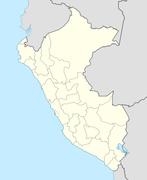  Puca Mauras Peru | |
| Highest point | |
| Elevation | 4,262 m (13,983 ft) |
| Coordinates | 15°25′33″S 72°20′19″W / 15.42583°S 72.33861°WCoordinates: 15°25′33″S 72°20′19″W / 15.42583°S 72.33861°W |
| Geography | |
| Location | Peru, Arequipa Region |
| Parent range | Andes, Chila |
Puca Mauras or Puka Mawras (Quechua puka red,[1] hispanicized spelling Puca Mauras) is a volcano in the Andes of Peru, about 4,262 metres (13,983 ft) high.[2] It is situated at the "Valley of the Volcanoes" in the Arequipa Region, Castilla Province, on the border of the districts of Andagua and Chilcaymarca.[3][4] Puca Mauras lies in the western extensions of the Chila mountain range, northeast of the Ticsho and Yanamauras volcanoes.
References
- ↑ Teofilo Laime Ajacopa, Diccionario Bilingüe Iskay simipi yuyayk'ancha, La Paz, 2007 (Quechua-Spanish dictionary)
- ↑ Mariusz Krzak, Ruch turystyczny w rejonie Arequipy i możliwości jego rozwoju w Dolinie Wulkanów (prowincja Castilla) w południowym Peru (Tourist movement in the Arequipa region and the possibilities of its development in the Valley of the Volcanoes (Castilla province) in Southern Peru), GeoTURYSTYKA, 2 (2005) 3-22 (In Polish containing a summary in English on p. 19-22)
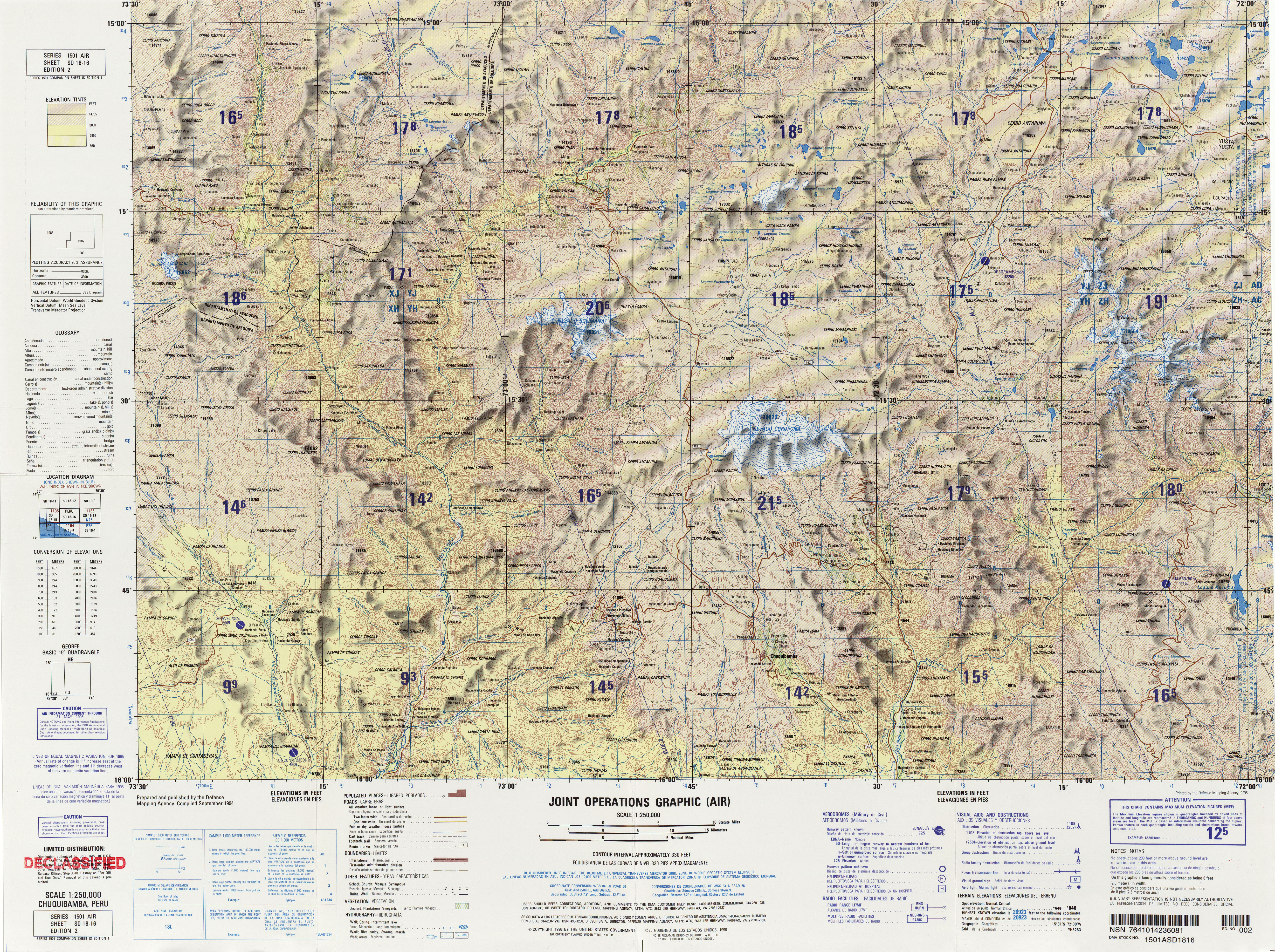
- ↑ lib.utexas.edu Map of the area
- ↑ escale.minedu.gob.pe - UGEL Map of the Castilla Province (1) (Arequipa Region)
This article is issued from Wikipedia - version of the 10/7/2016. The text is available under the Creative Commons Attribution/Share Alike but additional terms may apply for the media files.