Puig de la Talaia
| Puig de la Talaia | |
|---|---|
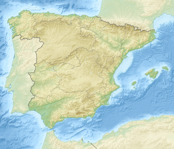  Puig de la Talaia Location in Spain | |
| Highest point | |
| Coordinates | 41°20′13″N 1°28′17″E / 41.33694°N 1.47139°ECoordinates: 41°20′13″N 1°28′17″E / 41.33694°N 1.47139°E |
| Geography | |
| Location | Baix Penedès, Catalonia |
| Parent range | Catalan Pre-Coastal Range |
| Climbing | |
| First ascent | Unknown |
| Easiest route | From El Montmell |
Puig de la Talaia is a mountain located in the El Montmell municipal term, in the Baix Penedès comarca, Catalonia, Spain. It has an elevation of 801 metres above sea level[1] and is part of the Catalan Pre-Coastal Range.
Talaia, the name of the mountain, means "watchtower" in the Catalan language.
See also
References
- ↑ "Mapa Topogràfic de Catalunya". Institut Cartogràfic de Catalunya. Retrieved May 22, 2010.
This article is issued from Wikipedia - version of the 9/19/2014. The text is available under the Creative Commons Attribution/Share Alike but additional terms may apply for the media files.