Puka Parina
| Puka Parina | |
|---|---|
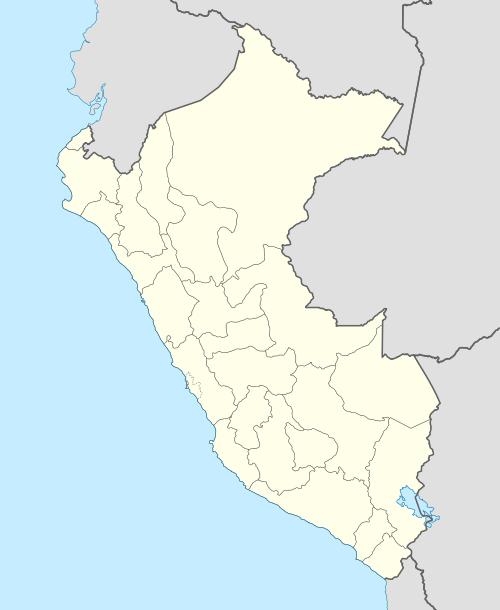  Puka Parina Peru | |
| Highest point | |
| Elevation | 4,800 m (15,700 ft) [1] |
| Coordinates | 14°15′20″S 70°45′04″W / 14.25556°S 70.75111°WCoordinates: 14°15′20″S 70°45′04″W / 14.25556°S 70.75111°W [2] |
| Geography | |
| Location | Peru, Puno Region |
| Parent range | Andes, Willkanuta |
Puka Parina (Aymara puka colored, Quechua puka red, Aymara parina flamingo,[3][4][5] "colored flamingo" or "red flamingo", hispanicized spelling Pucaparina) is a mountain in the Willkanuta mountain range in the Andes of Peru, about 4,800 metres (15,748 ft) high. It lies in the Puno Region, Melgar Province, Nuñoa District.[1]
References
- 1 2 escale.minedu.gob.pe - UGEL map of the Melgar Province (Puno Region)
- ↑ "Cerro Pucaparina". IGN, Peru. Retrieved July 18, 2015.
- ↑ Radio San Gabriel, "Instituto Radiofonico de Promoción Aymara" (IRPA) 1993, Republicado por Instituto de las Lenguas y Literaturas Andinas-Amazónicas (ILLLA-A) 2011, Transcripción del Vocabulario de la Lengua Aymara, P. Ludovico Bertonio 1612 (Spanish-Aymara-Aymara-Spanish dictionary)
- ↑ Teofilo Laime Ajacopa, Diccionario Bilingüe Iskay simipi yuyayk'ancha, La Paz, 2007 (Quechua-Spanish dictionary)
- ↑ Félix Layme Pairumani, Diccionario de Sinónimos de lengua aymara
This article is issued from Wikipedia - version of the 12/6/2015. The text is available under the Creative Commons Attribution/Share Alike but additional terms may apply for the media files.