Pulusuk

Pulusuk
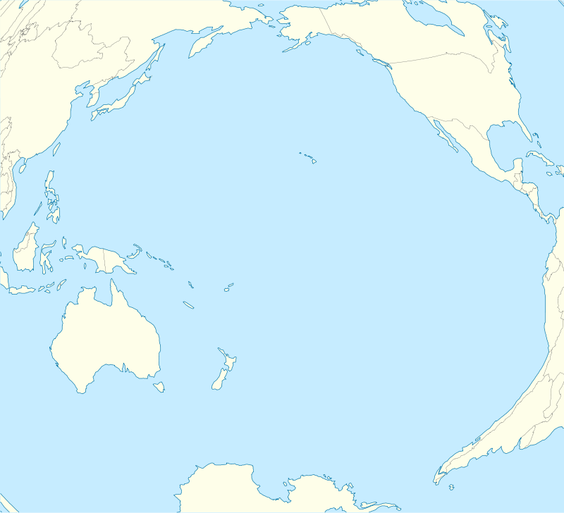
Location of Pulusuk in the Pacific Ocean

Landsat picture of Pulusuk
Pulusuk or Houk Island is a village and municipality in the state of Chuuk, Federated States of Micronesia.[1]
It is a small island that lies at the end of a 55 km (34 mi) long submerged atoll. Pulusuk is part of the Pattiw group, located 244 km (152 mi) to the west of Chuuk.[2]
The first recorded sighting by Europeans was by Spanish naval officer Juan Antonio de Ibargoitia commanding the vessel Filipino in 1799. He charted it as Bartolomé.[3][4][5]
References
- ↑ Statoids.com, retrieved December 8, 2010
- ↑ Oceandots - Houk at the Wayback Machine (archived December 23, 2010)
- ↑ Robson, R.W. The Pacific Islands Handbook New York 1946. p.142
- ↑ Sharp, Andrew The discovery of the Pacific Islands Oxford, 1960, p.183.
- ↑ Brand, Donald D. The Pacific Basin: A History of its Geographical Explorations The American Geographical Society, New York, 1967, p.141.
Coordinates: 6°41′23″N 149°18′08″E / 6.6898°N 149.3021°E
This article is issued from Wikipedia - version of the 11/15/2016. The text is available under the Creative Commons Attribution/Share Alike but additional terms may apply for the media files.