Punta Alta de Comalesbienes
| Punta Alta de Comalesbienes | |
|---|---|
 | |
| Highest point | |
| Elevation | 3,014.1 m (9,889 ft) |
| Coordinates | 42°35′8.51″N 0°52′49.11″E / 42.5856972°N 0.8803083°ECoordinates: 42°35′8.51″N 0°52′49.11″E / 42.5856972°N 0.8803083°E |
| Geography | |
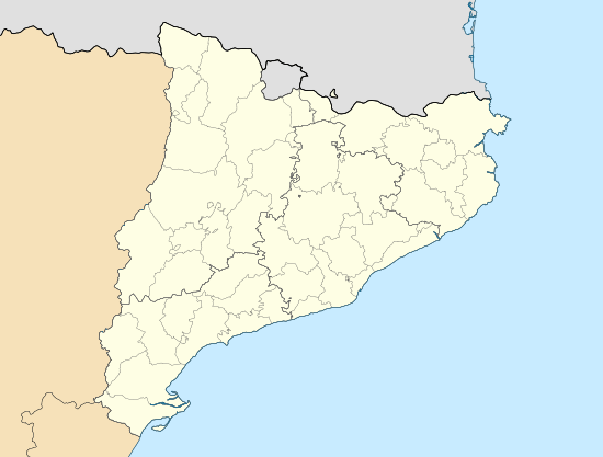  Punta Alta de Comalesbienes Catalonia, Spain | |
| Location | Vilaller & Vall de Boí (Alta Ribagorça) Catalonia |
| Parent range | Pyrenees |
| Climbing | |
| First ascent | Summer 1880 by Schrader and H. Passet[1] |
| Easiest route | From Estany de Cavallers |
Punta Alta de Comalesbienes, also known as Punta Alta, is a mountain of Catalonia, Spain. Punta Alta has an elevation of 3.014 metres above sea level.[2]
It is located close to the 2993 m high Pic de Comalesbienes, on the eastern side of the Estany de Cavallers glacial lake, near the Besiberri Massif, in the Vall de Boí, Pyrenees.
See also
References
- ↑ Els tresors d'Aigüestortes i Sant Maurici. Pep Coll, Mercè Aniz i Víctor Luengo. Pagès Editors. lleida 2002.
- ↑ Mapa Topogràfic de Catalunya - Institut Cartogràfic de Catalunya
External links
This article is issued from Wikipedia - version of the 6/15/2016. The text is available under the Creative Commons Attribution/Share Alike but additional terms may apply for the media files.