Qalsata (Sud Yungas)
For the mountain in the Larecaja Province, La Paz Department, Bolivia, see Qalsata.
| Qalsata | |
|---|---|
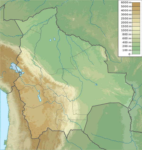  Qalsata Bolivia | |
| Highest point | |
| Elevation | 4,860 m (15,940 ft) [1] |
| Coordinates | 16°21′03″S 67°51′51″W / 16.35083°S 67.86417°WCoordinates: 16°21′03″S 67°51′51″W / 16.35083°S 67.86417°W |
| Geography | |
| Location |
Bolivia, La Paz Department, Sud Yungas Province |
| Parent range | Andes |
Qalsata (Aymara qalsa stones,[2] -ta a suffix, hispanicized spelling Calsada) is a mountain in the Andes of Bolivia, about 4,860 metres (15,945 ft) high . It is located in the La Paz Department, Sud Yungas Province, Yanacachi Municipality. Qalsata lies east of the Pirqa Pampa River (Perkha Pampa) which flows to the Unduavi River in the north.[1][3]
References
- 1 2 Bolivian IGM map 1:50,000 6044-IV Chojlla
- ↑ Thomas A. Sebeok, Materials for an Aymara Dictionary, Journal de la Société des Américanistes, 1951, p. 133
- ↑ "Yanacachi". INE, Bolivia. Retrieved August 27, 2014.
This article is issued from Wikipedia - version of the 12/6/2015. The text is available under the Creative Commons Attribution/Share Alike but additional terms may apply for the media files.