Quattro Castella
| Quattro Castella | |
|---|---|
| Comune | |
| Comune di Quattro Castella | |
|
Entrance to Quattro Castella | |
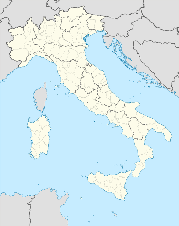  Quattro Castella Location of Quattro Castella in Italy | |
| Coordinates: 44°38′N 10°28′E / 44.633°N 10.467°ECoordinates: 44°38′N 10°28′E / 44.633°N 10.467°E | |
| Country | Italy |
| Region | Emilia-Romagna |
| Province / Metropolitan city | Reggio Emilia (RE) |
| Frazioni | Bedogno, Bosco, Braglie, Ca'Fornace, Calinzano, Casa Valle, Forche, La Fornace, Mangallana, Montecavolo, Orologia, Pamperduto, Piazza Navona, Puianello, Roncolo, Rubbianino, Salvarano, Scampate, Selvarola |
| Government | |
| • Mayor | Andrea Tagliavini |
| Area | |
| • Total | 46.1 km2 (17.8 sq mi) |
| Population (Dec. 2004) | |
| • Total | 12,098 |
| • Density | 260/km2 (680/sq mi) |
| Demonym(s) | Castellesi |
| Time zone | CET (UTC+1) |
| • Summer (DST) | CEST (UTC+2) |
| Postal code | 42020 |
| Dialing code | 0522 |
| Patron saint | St. Antoninus |
| Saint day | September 17 |
| Website | Official website |
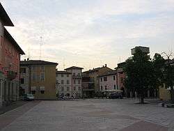
Quattro Castella is a comune (municipality) in the Province of Reggio Emilia in the Italian region Emilia-Romagna, located about 70 kilometres (43 mi) west of Bologna and about 15 kilometres (9 mi) southwest of Reggio Emilia. As of 31 December 2004, it had a population of 12,098 and an area of 46.1 square kilometres (17.8 sq mi).[1]
Quattro Castella borders the following municipalities: Albinea, Bibbiano, Reggio Emilia, San Polo d'Enza, Vezzano sul Crostolo.
Two of its churches include Sant'Antonino Martire in town; and the Oratory of the Madonna della Battaglia outside of the town.
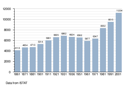
Demographic evolution
Twin towns
Quattro Castella is twinned with:
References
External links
This article is issued from Wikipedia - version of the 11/16/2016. The text is available under the Creative Commons Attribution/Share Alike but additional terms may apply for the media files.