Deniliquin Airport
| Deniliquin Airport | |||||||||||||||
|---|---|---|---|---|---|---|---|---|---|---|---|---|---|---|---|
| IATA: DNQ – ICAO: YDLQ | |||||||||||||||
| Summary | |||||||||||||||
| Airport type | Public | ||||||||||||||
| Operator | Edward River Council | ||||||||||||||
| Location | Deniliquin, New South Wales, Australia | ||||||||||||||
| Elevation AMSL | 316 ft / 96 m | ||||||||||||||
| Coordinates | 35°33′16.5456″S 144°56′56.6088″E / 35.554596000°S 144.949058000°ECoordinates: 35°33′16.5456″S 144°56′56.6088″E / 35.554596000°S 144.949058000°E | ||||||||||||||
| Map | |||||||||||||||
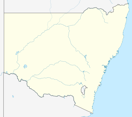  YDLQ Location in New South Wales | |||||||||||||||
| Runways | |||||||||||||||
| |||||||||||||||
Deniliquin Airport (IATA: DNQ[2], ICAO: YDLQ) is an airport located 2 nautical miles (3.7 km; 2.3 mi) south of Deniliquin,[1] a town in the Riverina region of New South Wales, Australia.
RAAF Station Deniliquin
RAAF Station Deniliquin was formed in 1941 as a station for the Royal Australian Air Force (RAAF), during the Second World War, at the airfield as part of the Empire Air Training Scheme as No. 7 Service Flying Training School.[3]
It was also a final disbanding site for squadrons returning from active duty against the Japanese in the Pacific. No. 22 Squadron RAAF[4] and No. 30 Squadron RAAF[5] were disbanded here in 1946, and in 1945 and 1946 it was also a base for No. 78 Squadron RAAF before it was finally disbanded in Williamtown.[6]
See also
References
- 1 2 YDLQ – DENILIQUIN (PDF). AIP En Route Supplement from Airservices Australia, effective 10 November 2016
- ↑ Accident history for DNQ at Aviation Safety Network
- ↑ Service Flying Training Schools at RAAF Museum. Retrieved on 28 February 2011.
- ↑ Australian War Memorial website No. 22 Squadron Retrieved 10 February 2015
- ↑ Australian War Memorial website No. 30 Squadron Retrieved 10 February 2015
- ↑ Australian War Memorial website No. 78 Squadron Retrieved 10 February 2015