Rathlevanagh
| Rathlevanagh | |
|---|---|
| Townland | |
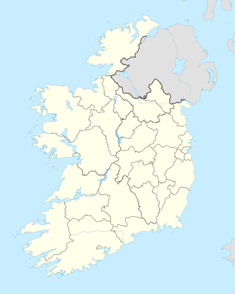  Rathlevanagh Location of Rathlevanagh within County Westmeath in the Republic of Ireland | |
| Coordinates: 53°35′30″N 7°21′28″W / 53.59167°N 7.35778°WCoordinates: 53°35′30″N 7°21′28″W / 53.59167°N 7.35778°W | |
| Country |
 Republic of Ireland Republic of Ireland |
| Province | Leinster |
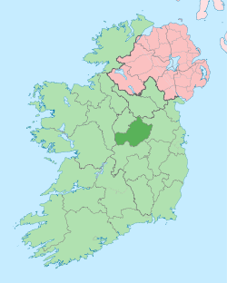
| County | County Westmeath |
| Irish grid reference | N423603 |
Rathlevanagh is a townland in County Westmeath, Ireland. It is located about 7.5 kilometres (5 mi) north of Mullingar.
Rathlevanagh is one of 8 townlands of the civil parish of Portnashangan in the barony of Corkaree in the Province of Leinster. The townland covers 256 acres (1.04 km2).
The neighbouring townlands are: Down and Knightswood to the north, Loughanstown to the east and Portnashangan to the west.[1][2]
In the 1911 census of Ireland there were 2 houses[3] and 5 inhabitants[4] in the townland.
References
- ↑ Rathlevanagh Townland, Co. Westmeath Townlands.ie Retrieved on 22 June 2015.
- ↑ Rathlevanagh Townland, Co. Westmeath IreAtlas Townland Data Base Retrieved on 22 June 2015.
- ↑ Houses in Rathlevanagh. Census of Ireland 1911. Retrieved on 22 June 2015.
- ↑ Inhabitants in Rathlevanagh. Census of Ireland 1911. Retrieved on 22 June 2015.
External links
- Rathlevanagh at the IreAtlas Townland Data Base
- Rathlevanagh at Townlands.ie
- Rathlevanagh at Logainm.ie
This article is issued from Wikipedia - version of the 8/28/2016. The text is available under the Creative Commons Attribution/Share Alike but additional terms may apply for the media files.