Rathsoony
| Rathsoony | |
|---|---|
|
Native name Irish: Ráth an tSonnaigh | |
| Rathsonny | |
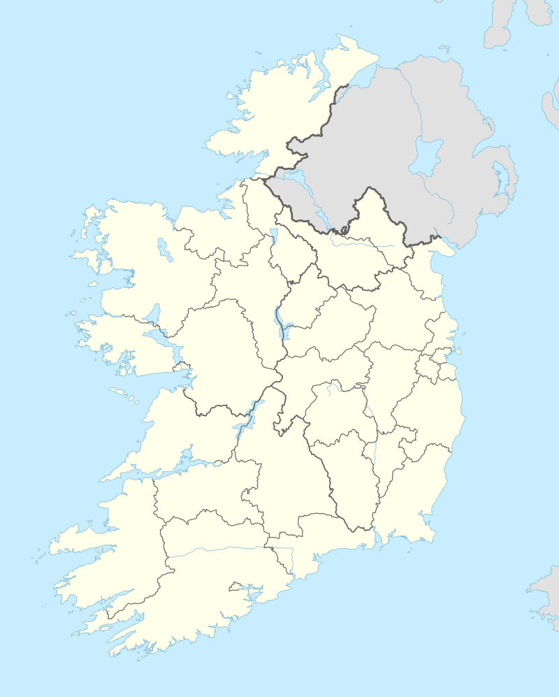  Location of Rathsoony in Ireland | |
| Type | ringfort |
| Location |
Masonbrook, Loughrea, County Galway, Ireland |
| Coordinates | 53°10′52″N 8°30′38″W / 53.181217°N 8.510647°WCoordinates: 53°10′52″N 8°30′38″W / 53.181217°N 8.510647°W |
| Area | 0.6 ha (1.5 acres) |
| Elevation | 124 m (407 ft) |
| Built | 1st–9th century AD |
| Official name: Rathsoony | |
| Reference no. | 499 |
Rathsoony is a ringfort and National Monument located in County Galway, Ireland.[1][2][3]
Location
Rathsoony is located 4 km (2½ miles) southeast of Loughrea.[4]
History and description
Rathsoony is a quadrivallate rath not much raised above the field level, with a central rampart and two fosses with an intervening ring and marked by a sunken way. It also has a souterrain.[5] The Irish name means "Ringfort of the palisade", indicating that it was surrounded by a wall of stakes.[6]
References
- ↑ https://www.archaeology.ie/sites/default/files/media/pdf/monuments-in-state-care-galway.pdf
- ↑ Spellissy, Sean (1 January 1999). "The history of Galway". Celtic Bookshop – via Google Books.
- ↑ Spellissy, Sean (1 January 1999). "The history of Galway". Celtic Bookshop – via Google Books.
- ↑ "Rathsonny ringfort masonbrook loughrea".
- ↑ Ireland, Royal Society of Antiquaries of (1 January 1920). "The Journal of the Royal Society of Antiquaries of Ireland". The Society – via Google Books.
- ↑ "- Place names of Galway".
This article is issued from Wikipedia - version of the 11/25/2016. The text is available under the Creative Commons Attribution/Share Alike but additional terms may apply for the media files.