Rauchwart
| Rauchwart | |
|---|---|
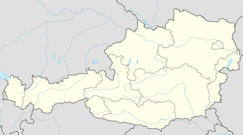  Rauchwart Location within Austria | |
| Coordinates: 47°8′N 16°14′E / 47.133°N 16.233°ECoordinates: 47°8′N 16°14′E / 47.133°N 16.233°E | |
| Country | Austria |
| State | Burgenland |
| District | Güssing |
| Government | |
| • Mayor | Willibald Höchtl |
| Area | |
| • Total | 17.5 km2 (6.8 sq mi) |
| Population (1 January 2016)[1] | |
| • Total | 459 |
| • Density | 26/km2 (68/sq mi) |
| Time zone | CET (UTC+1) |
| • Summer (DST) | CEST (UTC+2) |
| Postal code | 7535 |
| Website | www.rauchwart.at (in German) |
Rauchwart is a village in the district of Güssing in the Austrian state of Burgenland.
Geography
Climate
| Climate data for Kukmirn, Austria | |||||||||||||
|---|---|---|---|---|---|---|---|---|---|---|---|---|---|
| Month | Jan | Feb | Mar | Apr | May | Jun | Jul | Aug | Sep | Oct | Nov | Dec | Year |
| Average high °F (°C) | 37 (3) |
44 (7) |
51 (11) |
61 (16) |
70 (21) |
76 (24) |
80 (27) |
78 (26) |
69 (21) |
60 (16) |
47 (8) |
37 (3) |
59.166 (15.092) |
| Average low °F (°C) | 23 (−5) |
25 (−4) |
31 (−1) |
38 (3) |
47 (8) |
53 (12) |
56 (13) |
55 (13) |
48 (9) |
40 (4) |
34 (1) |
26 (−3) |
39.666 (4.259) |
Source: <World Weather Online= >Kukmirn Monthly Climate Average, Austria. World Weather Online. 2016 http://www.worldweatheronline.com/kukmirn-weather-averages/burgenland/at.aspx. Retrieved 12 September 2016. Missing or empty |title= (help) | |||||||||||||
Population
| Historical population | ||
|---|---|---|
| Year | Pop. | ±% |
| 1869 | 786 | — |
| 1880 | 882 | +12.2% |
| 1890 | 886 | +0.5% |
| 1900 | 976 | +10.2% |
| 1910 | 1,031 | +5.6% |
| 1923 | 886 | −14.1% |
| 1934 | 836 | −5.6% |
| 1939 | 809 | −3.2% |
| 1951 | 672 | −16.9% |
| 1961 | 585 | −12.9% |
| 1971 | 562 | −3.9% |
| 1981 | 520 | −7.5% |
| 1991 | 524 | +0.8% |
| 2001 | 464 | −11.5% |
| 2011 | 450 | −3.0% |
References
This article is issued from Wikipedia - version of the 9/13/2016. The text is available under the Creative Commons Attribution/Share Alike but additional terms may apply for the media files.