Rimpfischhorn
| Rimpfischhorn | |
|---|---|
|
The Rimpfischhorn from the Allalinhorn | |
| Highest point | |
| Elevation | 4,199 m (13,776 ft) |
| Prominence | 635 m (2,083 ft) [1] |
| Isolation | 4.7 kilometres (2.9 mi) |
| Parent peak | Dom |
| Coordinates | 46°01′23″N 7°53′02″E / 46.02306°N 7.88389°ECoordinates: 46°01′23″N 7°53′02″E / 46.02306°N 7.88389°E |
| Geography | |
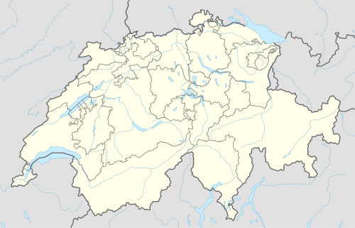  Rimpfischhorn Location in Switzerland | |
| Location | Valais, Switzerland |
| Parent range | Pennine Alps |
| Climbing | |
| First ascent | 9 September 1859 by Leslie Stephen and Robert Liveing with guides Melchior Anderegg and Johann Zumtaugwald |
| Easiest route | Allalin glacier/north-west ridge (PD); a snow climb. |
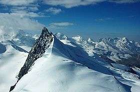
The Rimpfischhorn (4,199 m) is a mountain in the Pennine Alps of Switzerland.
The first ascent of the mountain was by Leslie Stephen and Robert Living with guides Melchior Anderegg and Johann Zumtaugwald on 9 September 1859. Their route of ascent was from Fluh Alp via the Rimpfischwänge.
See also
 |
Wikimedia Commons has media related to Rimpfischhorn. |
References
External links
This article is issued from Wikipedia - version of the 1/24/2016. The text is available under the Creative Commons Attribution/Share Alike but additional terms may apply for the media files.