Rockanje
| Rockanje | |||
|---|---|---|---|
| Town | |||
|
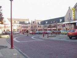
Town centre of Rockanje | |||
| |||
 | |||
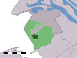 The town centre (dark green) and the statistical district (light green) of Rockanje in the municipality of Westvoorne. | |||
| Coordinates: 51°52′14″N 4°4′8″E / 51.87056°N 4.06889°ECoordinates: 51°52′14″N 4°4′8″E / 51.87056°N 4.06889°E | |||
| Country | Netherlands | ||
| Province | South Holland | ||
| Municipality | Westvoorne | ||
| Area | |||
| • Total | 30.03 km2 (11.59 sq mi) | ||
| • Land | 29.75 km2 (11.49 sq mi) | ||
| • Water | 0.26 km2 (0.10 sq mi) | ||
| Population (1 January 2005) | |||
| • Total | 6,560 | ||
| • Density | 220/km2 (570/sq mi) | ||
| Time zone | CET (UTC+1) | ||
| • Summer (DST) | CEST (UTC+2) | ||
| Postal code | 3235 | ||
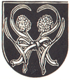
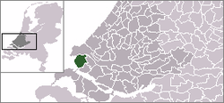
Rockanje is a town in the Dutch province of South Holland. It is a part of the municipality of Westvoorne, and lies about 7 km northwest of Hellevoetsluis.
In 2001, the town of Rockanje had 4805 inhabitants. The built-up area of the town was 1.2 km², and contained 2004 residences.[1] The statistical area "Rockanje", which also can include the peripheral parts of the village, as well as the surrounding countryside, has a population of around 5710.[2]
Rockanje was a separate municipality until 1980, when it became part of Westvoorne.[3]
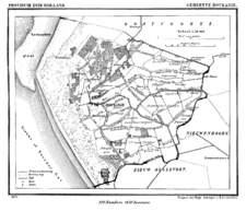
Rockanje in 1866.
References
- ↑ Statistics Netherlands (CBS), Bevolkingskernen in Nederland 2001. (Statistics are for the continuous built-up area).
- ↑ Statistics Netherlands (CBS), Statline: Kerncijfers wijken en buurten 2003-2005. As of January 1, 2005.
- ↑ Ad van der Meer and Onno Boonstra, "Repertorium van Nederlandse gemeenten", KNAW, 2006.
This article is issued from Wikipedia - version of the 9/16/2015. The text is available under the Creative Commons Attribution/Share Alike but additional terms may apply for the media files.