Roisan
| Roisan | ||
|---|---|---|
| Comune | ||
| Comune di Roisan Commune de Roisan | ||
|
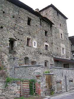
The Rhins fortified house (12th century). | ||
| ||
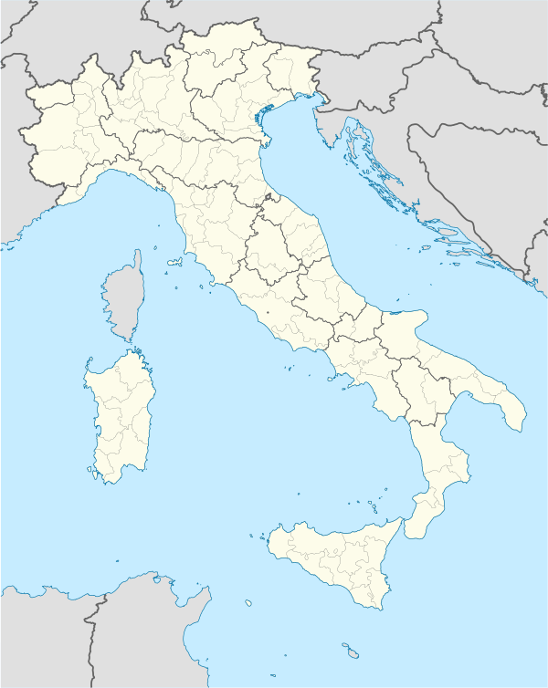  Roisan Location of Roisan in Italy | ||
| Coordinates: 45°47′N 7°19′E / 45.783°N 7.317°E | ||
| Country | Italy | |
| Region | Valle d'Aosta | |
| Province / Metropolitan city | none | |
| Frazioni | Baravex, Blavy, Careybloz, Chambrette, Champapon, Champvillair Dessous, Champvillair Dessus, Chaumé, Fontillon, Clavallaz, Closellinaz, Crétaz, Gorrey, Ladret, Les Adrets, Martinet (chef-lieu), Massinod, Moulin, Preil, Rhins, Pointier, Salé, Champ de Bau, Château, Chaviller, Chez Collin, Creusévy, Zatély | |
| Government | ||
| • Mayor | Roisan-Stemma.png | |
| Area | ||
| • Total | 14 km2 (5 sq mi) | |
| Elevation | 866 m (2,841 ft) | |
| Population (31 December 2010)[1] | ||
| • Total | 1,037 | |
| • Density | 74/km2 (190/sq mi) | |
| Demonym(s) | Roisaëins | |
| Time zone | CET (UTC+1) | |
| • Summer (DST) | CEST (UTC+2) | |
| Postal code | 11100 | |
| Dialing code | 0165 | |
| Patron saint | Saint Victor de Soleure | |
| Saint day | 30 September | |
| Website | Official website | |
Roisan is a town and comune in the Aosta Valley region of north-western Italy. It is located on the left shore of the Buthier river, in the lower Valpelline.
References
This article is issued from Wikipedia - version of the 9/22/2016. The text is available under the Creative Commons Attribution/Share Alike but additional terms may apply for the media files.