Route F88 (Iceland)
Coordinates: 65°21′11″N 16°03′54″W / 65.353°N 16.065°W
| |
|---|---|
| Öskjuleið | |
| Route information | |
| Length: | 80 km (50 mi) |
| Major junctions | |
| Northern end: | 1 Ring Road |
| Southern end: | Route 910 |
| Highway system | |
| F-tracks in Iceland | |

Öskjuleið, or Route 88, is a road in north-east Iceland. The road heads south from Route 1, a ring road, close to the volcanic crater Hrossaborg, to Route 910, not far from Askja.[1]
The road is the primary route to the tourist hotspots of Herðubreið and Hrossaborg.
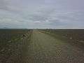 Straight of F88
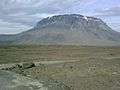 F88 close to Herðubreið
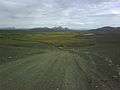 Route F88
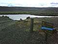 Ford crossing on F88
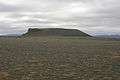 Hrossaborg
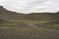 Hrossaborg crater
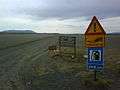 Intersection between F88 and Hringvegur
References
- ↑ Öskjuleið (Map). Cartography by OpenStreetMap contributors. OpenStreetMap. Retrieved January 9, 2012.
External links
 Media related to Road 88 (Iceland) at Wikimedia Commons
Routes through the interior highlands of Iceland | ||
|---|---|---|
|  | |
This article is issued from Wikipedia - version of the 3/8/2013. The text is available under the Creative Commons Attribution/Share Alike but additional terms may apply for the media files.