Royal George, Tasmania
| Royal George Tasmania | |
|---|---|
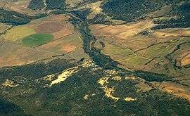 Aerial photo from the east | |
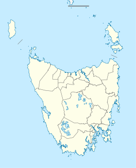  Royal George | |
| Coordinates | 41°49′20″S 147°53′28″E / 41.82222°S 147.89111°ECoordinates: 41°49′20″S 147°53′28″E / 41.82222°S 147.89111°E |
| Population | 127 (2006 census)[1] |
| Postcode(s) | 7213[2] |
| LGA(s) | North Midlands Council |
| State electorate(s) | Lyons |
| Federal Division(s) | Lyons |
Royal George is a village in north east Tasmania of the St Pauls River. At the 2006 census, Royal George had a population of 127.[1]
It was a mining village, with the mine and locality named after one of the HMS Royal George ships from the 19th century.[3]
History
The first Royal George Post Office opened on 5 May 1914 and closed in 1920. The second office opened in 1955 and closed in 1971.[4]
References
- 1 2 Australian Bureau of Statistics (25 October 2007). "Royal George (State Suburb)". 2006 Census QuickStats. Retrieved 22 November 2011.
- ↑ White Pages Canberra 2008
- ↑ Central Portal
- ↑ Premier Postal History. "Post Office List". Premier Postal Auctions. Retrieved 16 June 2012.
This article is issued from Wikipedia - version of the 12/24/2014. The text is available under the Creative Commons Attribution/Share Alike but additional terms may apply for the media files.