Rural Municipality of Elcapo No. 154
| Elcapo No. 154, Saskatchewan | |
|---|---|
| Rural Municipality | |
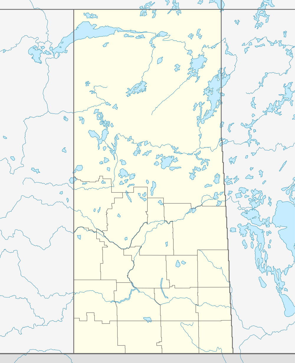  Elcapo No. 154, Saskatchewan Location in Saskatchewan | |
| Coordinates: 50°25′00″N 102°45′04″W / 50.41673419°N 102.751011372°WCoordinates: 50°25′00″N 102°45′04″W / 50.41673419°N 102.751011372°W | |
| Country | Canada |
| Province | Saskatchewan |
| Rural Municipality | December 12, 1910 |
| Area | |
| • Total | 846.54 km2 (326.85 sq mi) |
| Population (2006) | |
| • Total | 489 |
| • Density | 0.6/km2 (2/sq mi) |
| Time zone | UTC (UTC-6) |
Elcapo No. 154, Saskatchewan is a rural municipality of 489 rural residents (2006 census) in the southeastern part of Saskatchewan, Canada. The residents of this area also belong to SARM Division No. 1 and Census Division No. 5, Saskatchewan. The RM was incorporated December 12, 1910.[1] There are no localities included in the RM.[2] Broadview, Grenfell, and Oakshela are urban areas near this RM.[3] The Coteau Hills taper off to agricultural plains.[4] The Bigmouth buffalo (Ictiobus cyprinellus) is a species of special concern to environmentalists in this area.[5]
A rural municipality is an administrative district consisting of an elected reeve, councilors, and an administrator who provide essential services within their area.
A person could work for the municipality and have his earnings put toward the taxes on his land; at one time, money collected in each Division stayed in that Division....The RM has as its responsibilities for many areas: agricultural programs and concerns in general; tax collections for needs of the municipality - road construction and maintenance; protective services - pest control, fire protection, weed control, environmental development, cultural and educational services; medical and veterinary needs and so forth.— Tecumseh No. 65[6]
Statistics
| ||||||||||||||||||||||
Communities
The following communities are within the municipalities border.
Towns
Hamlets
Area statistics
References
- ↑ "MRD Municipal Status Information", Ministry of Municipal Affairs, Government of Saskatchewan, archived from the original on 2008-03-25, retrieved 2007-12-29
- ↑ "4705028 - Elcapo No. 154, geographical codes and localities, 2006", Statistics Canada, Government of Canada, retrieved 2007-12-29
- ↑ Saskatchewan Genealogy Association, retrieved 2007-12-29
- ↑ "Wheatlands No. 163", Sask biz, Government of Saskatchewan, retrieved 2007-12-29
- ↑ "Saskatchewan Conservation Data Centre - Conservation Database". Saskatchewan Conservation Data Centre. 2007. Retrieved 2007-12-26.
- ↑ Sask Biz, Government of Saskatchewan (2004), Tecumseh No. 65, retrieved 2007-12-27
- ↑ "2006 Community Profiles". Canada 2006 Census. Statistics Canada. March 30, 2011. Retrieved 2009-02-24.
- ↑ "Elcapo No. 154, Saskatchewan, Canada, North America". World Index. Rumbletum.org. 2004. Retrieved 2007-12-26.
- ↑ "MRD Rural Municipality (RM) Boundary maps", Ministry of Municipal Affairs, Government of Saskatchewan, archived from the original on 2007-12-08, retrieved 2007-12-29
External links
- Saskatoon Regional Economic Development Authority - SREDA
- Saskatchewan, Canada, Rand McNally 1924 Indexed Pocket Map Tourists' and Shippers' Guide
- GeoNames Query
- Post Offices and Postmasters - ArchiviaNet - Library and Archives Canada
- Saskatchewan Gen Web - One Room School Project
- Canadian Maps: January 1925 Waghorn's Guide. Post Offices in Man. Sask. Alta. and West Ontario.
- Saskatoon Gen Web
 |
Grayson No. 184 | | ||
| Wolseley No. 155 |  |
Willowdale No. 153 | ||
| ||||
 | ||||
| Kingsley No. 124 |